1953 Map of Kenansville
USGS Topo · Published 1954About this map
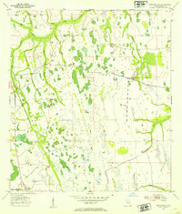
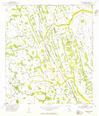
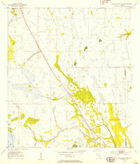
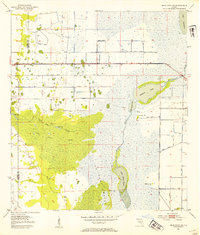
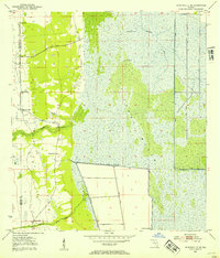
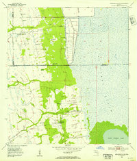
Kenansville anchors the southwest corner of this interior Florida landscape during the early 1950s, serving as a rare point of development in an area dominated by an intricate drainage system. The terrain is defined by the winding course of Bull Creek and its many tributaries, including Tracy Branch and Yoke Branch, which cut through the palmetto and pine flatwoods. The map reveals a pre-industrial hydrological network where water moves through numerous unnamed depressions and swamps toward named basins like Clayhole Pond and Billy Lake. The local transportation is sparse, highlighted by the Canoe Creek Rd, which connects the small settlement to the surrounding cattle country. This survey, compiled from 1951 aerial photography, documents the region before the massive water management projects and residential expansions of the later 20th century, preserving the original names of local waterways such as Raulerson Branch and Hammock Branch.
Find a feature on this map
19 named features on this map. Tap any name to fly to it.
Don’t see what you’re looking for? This feature index may not catch every label — zoom into the map to look around manually.
Map Details
Editions of this 1953 Kenansville Map
3 editions found
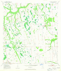
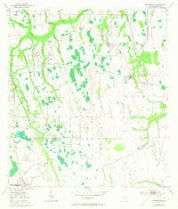
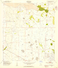
Other maps of this area
1953 · Lake Marian SE
USGS Topo · 1:24,000
1953 · Holopaw SE
USGS Topo · 1:24,000
1953 · Kenansville SW
USGS Topo · 1:24,000
1953 · Deer Park SE
USGS Topo · 1:24,000
1953 · Kenansville NE
USGS Topo · 1:24,000
1953 · Kenansville SE
USGS Topo · 1:24,000
1953 · Deer Park
USGS Topo · 1:24,000
1953 · Lake Marian NE
USGS Topo · 1:24,000

1955 · Orlando
USGS Topo · 1:250,000

1956 · Fort Pierce
USGS Topo · 1:250,000