
1953 Map of Kenansville NE
USGS Topo · Published 1954About this map
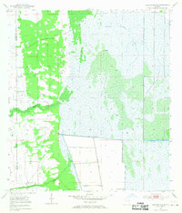
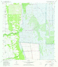
St Johns Marsh dominates this landscape along the border of Osceola and Brevard counties during the early 1950s. The region is defined by a complex network of wetlands and hydraulic engineering, where a massive Spoil Bank and long Levee systems reflect mid-century efforts to manage the flow of the St Johns River. Scattered throughout this watery expanse are elevated hammocks and islands such as Camp Island and Jug Island, while human activity is evidenced by a Pumping Station and several sites marked as Flowing Well.
Find a feature on this map
13 named features on this map. Tap any name to fly to it.
Don’t see what you’re looking for? This feature index may not catch every label — zoom into the map to look around manually.
Map Details
Editions of this 1953 Kenansville NE Map
3 editions found
Other maps of this area

1949 · Melbourne West
USGS Topo · 1:24,000

1951 · Melbourne West
USGS Topo · 1:24,000

1953 · Fellsmere SW
USGS Topo · 1:24,000

1953 · Fellsmere NW
USGS Topo · 1:24,000

1953 · Kenansville SW
USGS Topo · 1:24,000

1953 · Deer Park SE
USGS Topo · 1:24,000

1953 · Kenansville
USGS Topo · 1:24,000

1953 · Kenansville SE
USGS Topo · 1:24,000

1953 · Deer Park
USGS Topo · 1:24,000

1955 · Orlando
USGS Topo · 1:250,000