
1953 Map of Kenansville SE
USGS Topo · Published 1954About this map
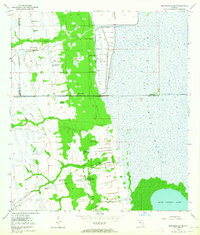
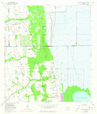
The expansive St Johns Marsh dominates the eastern half of this 1953 survey, illustrating a landscape defined by water management and ranching at the intersection of Osceola, Brevard, and Indian River Counties. To the south, the northern shoreline of Blue Cypress Lake meets a dense swampy interior, while human intervention is evident through a series of Levee systems and Spoil Bank features designed to control the flow of the upper St. Johns River. These earthen works suggest an era of active land reclamation and flood control in central Florida. Scattered throughout the dryer hummocks are signs of rural industry and transportation, including the Leonard Ranch and Mitchell Ranch. The presence of an Old RR Grade cutting through the marshy terrain and a remote Landing Field near the center of the sheet points to the logistical challenges of navigating this watery wilderness before the development of modern infrastructure.
Find a feature on this map
13 named features on this map. Tap any name to fly to it.
Don’t see what you’re looking for? This feature index may not catch every label — zoom into the map to look around manually.
Map Details
Editions of this 1953 Kenansville SE Map
3 editions found
Other maps of this area

1953 · Fellsmere SW
USGS Topo · 1:24,000

1953 · Fellsmere NW
USGS Topo · 1:24,000

1953 · Fort Drum NW
USGS Topo · 1:24,000

1953 · Kenansville SW
USGS Topo · 1:24,000

1953 · Kenansville
USGS Topo · 1:24,000

1953 · Fort Drum NE
USGS Topo · 1:24,000

1953 · Kenansville NE
USGS Topo · 1:24,000

1953 · Fellsmere 4 NW
USGS Topo · 1:24,000

1956 · Fort Pierce
USGS Topo · 1:250,000

1958 · Fort Pierce
USGS Topo · 1:250,000