
1953 Map of Fort Drum NW
USGS Topo · Published 1954About this map
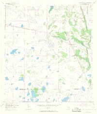
Yeehaw Junction serves as the focal point of this 1953 survey, marking a significant crossroads in the marshy interior of Florida. The landscape is defined by complex drainage patterns and scattered hammocks, most notably the prominent Wolf Hammock in the southern portion of the sheet. Transportation history is etched into the terrain by the Old Railroad Grade, which runs parallel to the meandering course of Blue Cypress Creek. This era of mapping, compiled in part from 1950 aerial photographs, captures the remote character of the boundary region where Osceola, Indian River, and Okeechobee counties meet. The detailed topographic contours and numerous small water bodies illustrate the challenging wet prairie environment before extensive modern development altered the local hydrology.
Find a feature on this map
7 named features on this map. Tap any name to fly to it.
Don’t see what you’re looking for? This feature index may not catch every label — zoom into the map to look around manually.
Map Details
Editions of this 1953 Fort Drum NW Map
4 editions found
Other maps of this area

1953 · Fort Drum
USGS Topo · 1:24,000

1953 · Fort Kissimmee NE
USGS Topo · 1:24,000

1953 · Fort Drum SW
USGS Topo · 1:24,000

1953 · Lake Marian SE
USGS Topo · 1:24,000

1953 · Kenansville SW
USGS Topo · 1:24,000

1953 · Fort Drum NE
USGS Topo · 1:24,000

1953 · Kenansville SE
USGS Topo · 1:24,000

1953 · Fort Kissimmee SE
USGS Topo · 1:24,000

1956 · Fort Pierce
USGS Topo · 1:250,000

1958 · Fort Pierce
USGS Topo · 1:250,000