
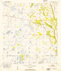
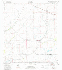
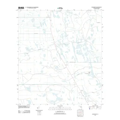
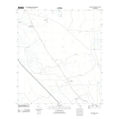
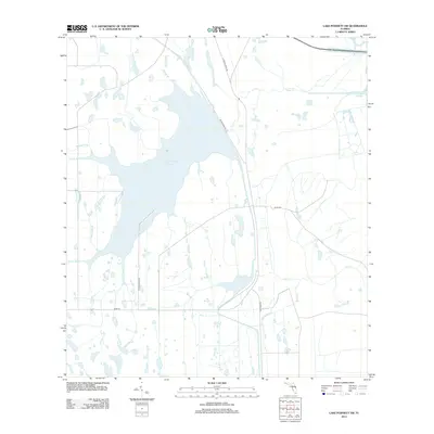
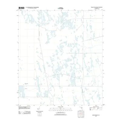
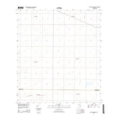
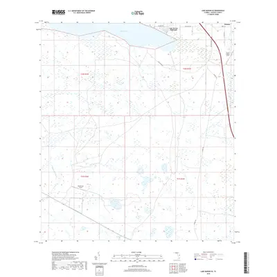
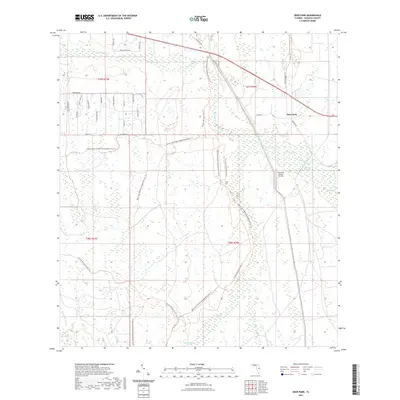
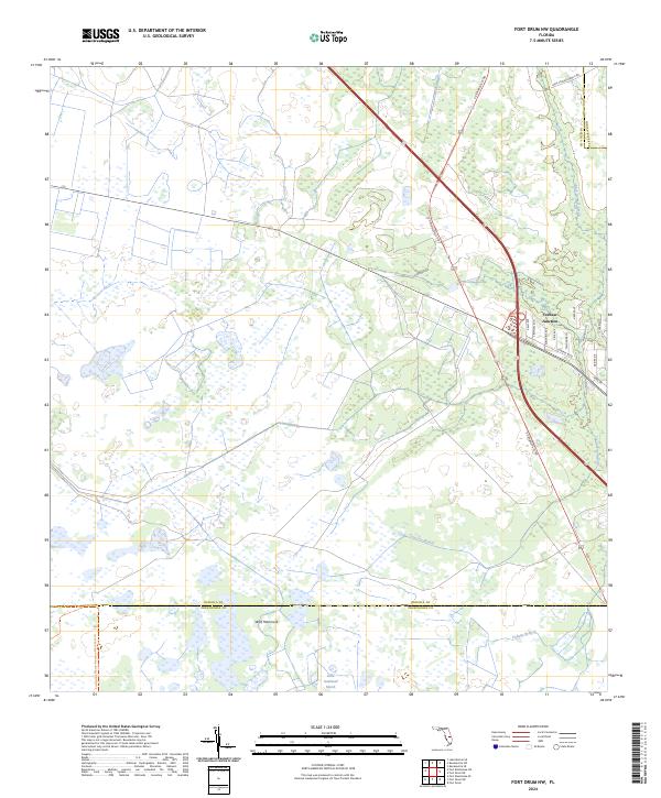
1953 Map of Fort Drum NW
USGS Topo · Published 1973About this map
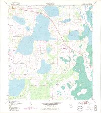
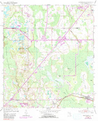
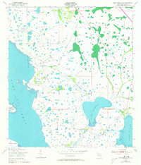
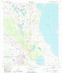
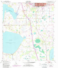
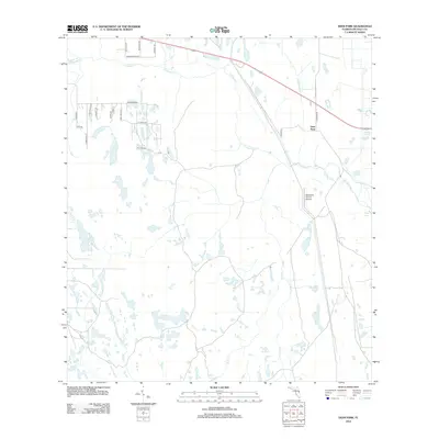
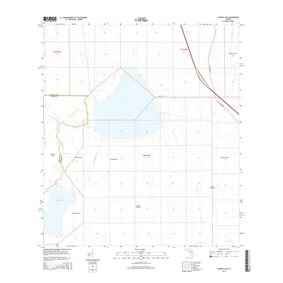
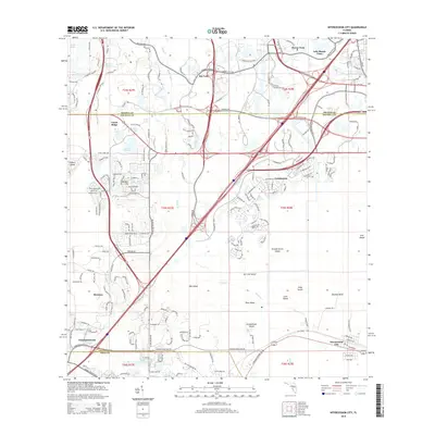
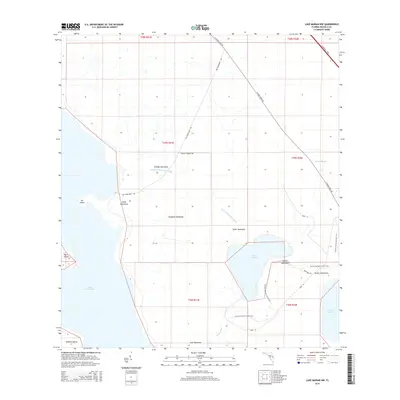
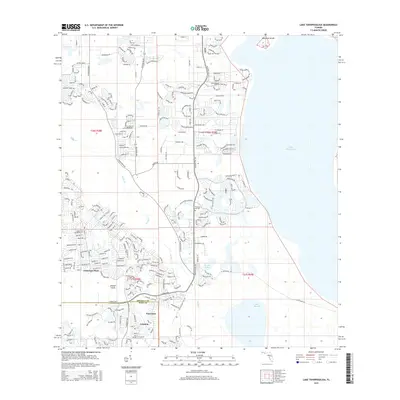
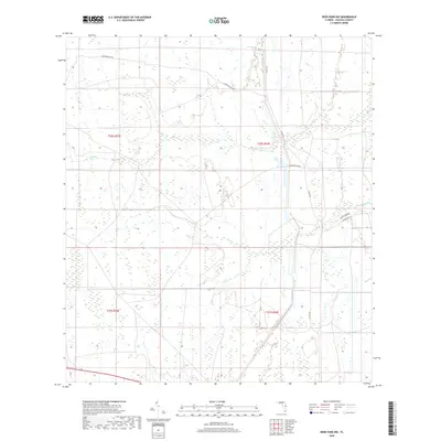
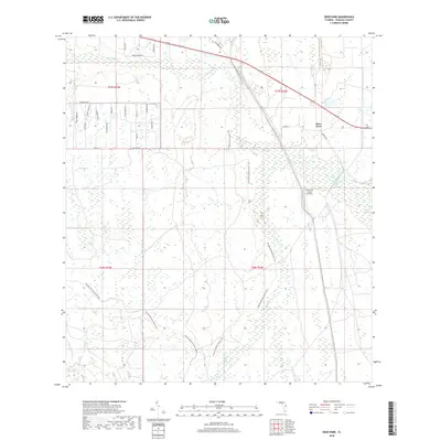
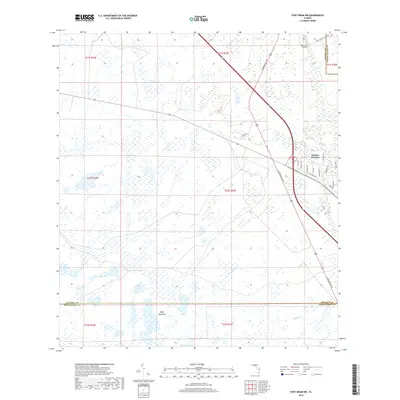
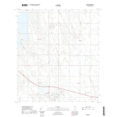
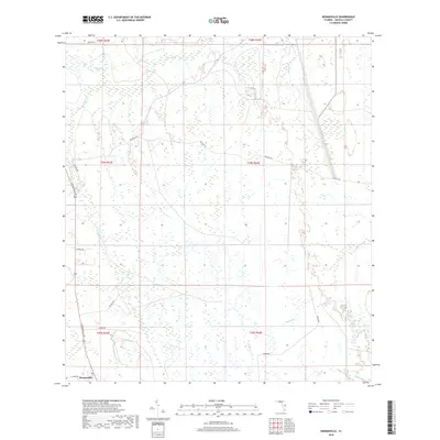
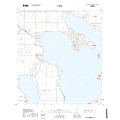
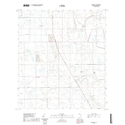
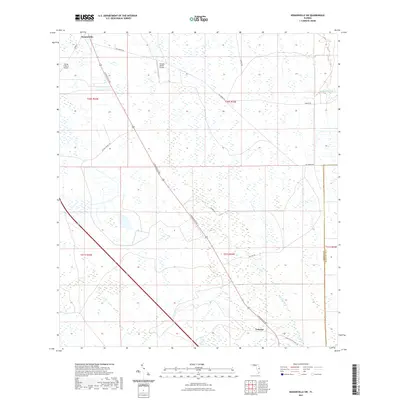
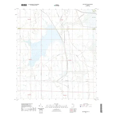
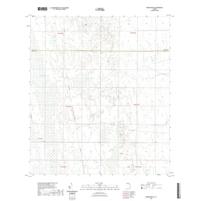
Yeehaw Junction serves as the primary hub of this inland Florida landscape, situated at a critical crossroads where the Floridas Turnpike and Toll Road intersect. This 1953 survey, later updated with photorevisions in 1972, documents a region characterized by wet prairies and cypress strands. The presence of an Old Railroad Grade running parallel to Blue Cypress Creek indicates the earlier logging or transit routes that predated the modern highway system. Notable natural features like Wolf Hammock rise above the surrounding lowlands, while drainage is defined by the winding paths of Cow Creek Branch. The map also captures the infrastructure of the era, including a Tollgate at the major highway junction, illustrating the evolution of Florida's transportation network through the mid-20th century.
Find a feature on this map
10 named features on this map. Tap any name to fly to it.
Don’t see what you’re looking for? This feature index may not catch every label — zoom into the map to look around manually.
Map Details
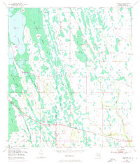
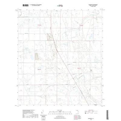
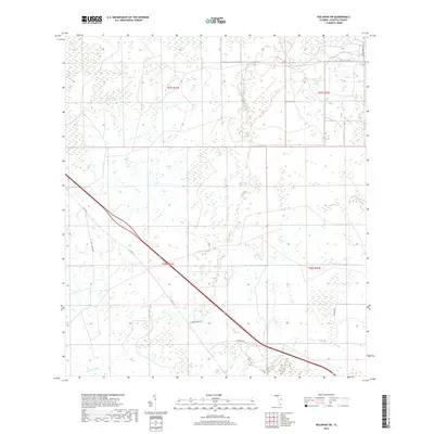
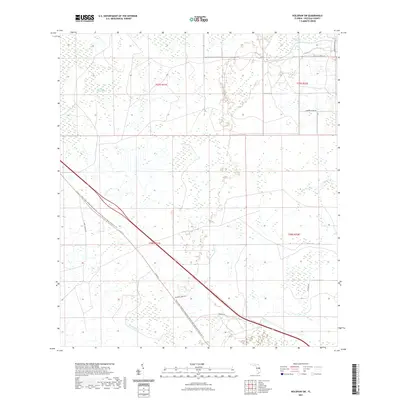
Editions of this 1953 Fort Drum NW Map
4 editions found
Historical Maps of Yeehaw Junction Through Time
138 maps found
1952 Lake Weohyakapka NE
Osceola County, FL
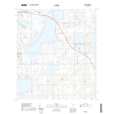
1953 Ashton
Osceola County, FL
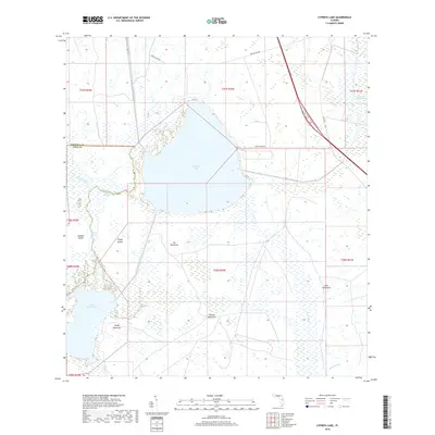
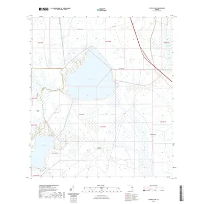
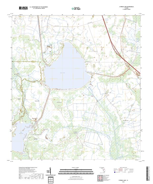
1953 Cypress Lake
Osceola County, FL
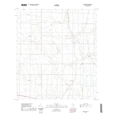
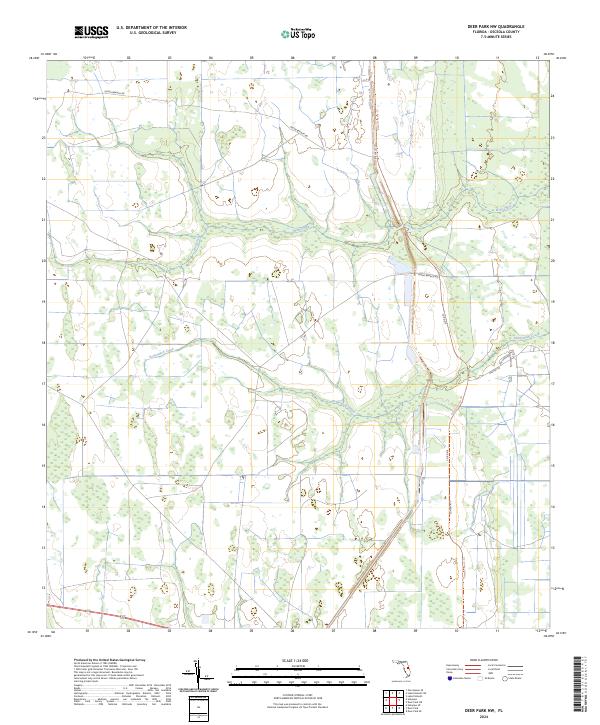
1953 Deer Park NW
Osceola County, FL
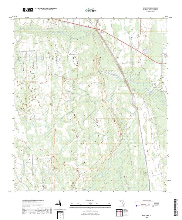
1953 Deer Park
Osceola County, FL
1953 Fort Drum NW
Osceola County, FL
1953 Fort Kissimmee NE
Osceola County, FL
1953 Holopaw
Osceola County, FL
1953 Holopaw SE
Osceola County, FL
1953 Holopaw SW
Osceola County, FL
1953 Intercession City
Osceola County, FL
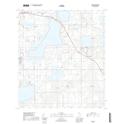
1953 Kenansville
Osceola County, FL
1953 Kenansville SW
Osceola County, FL
1953 Lake Marian NE
Osceola County, FL
1953 Lake Marian NW
Osceola County, FL
1953 Lake Marian SE
Osceola County, FL
1953 Lake Marian SW
Osceola County, FL
1953 Lake Poinsett SW
Osceola County, FL
1953 Lake Tohopekaliga
Osceola County, FL
1953 Narcoossee
Osceola County, FL
1953 Narcoossee SE
Osceola County, FL
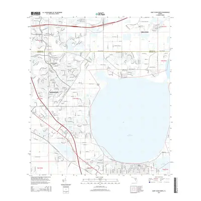
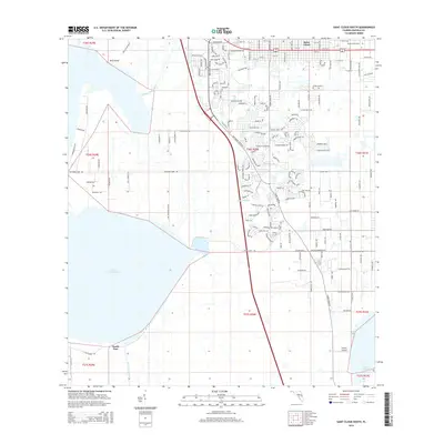
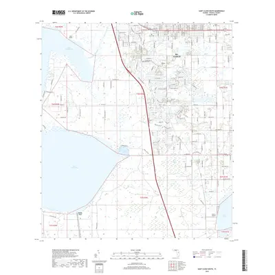
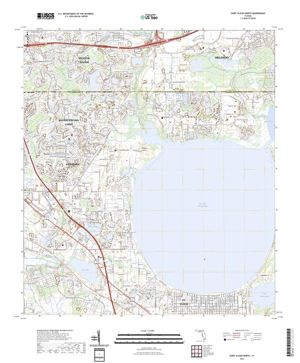
1953 St Cloud North
Osceola County, FL
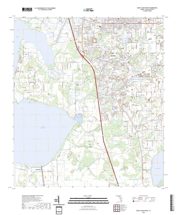
1953 St Cloud South
Osceola County, FL
2012 Ashton
Osceola County, FL
2012 Cypress Lake
Osceola County, FL
2012 Deer Park NW
Osceola County, FL
2012 Deer Park
Osceola County, FL
2012 Fort Drum NW
Osceola County, FL
2012 Fort Kissimmee NE
Osceola County, FL
2012 Holopaw
Osceola County, FL
2012 Holopaw SE
Osceola County, FL
2012 Holopaw SW
Osceola County, FL
2012 Intercession City
Osceola County, FL
2012 Kenansville
Osceola County, FL
2012 Kenansville SW
Osceola County, FL
2012 Lake Marian NE
Osceola County, FL
2012 Lake Marian NW
Osceola County, FL
2012 Lake Marian SE
Osceola County, FL

2012 Lake Marian SW
Osceola County, FL
2012 Lake Poinsett SW
Osceola County, FL
2012 Lake Tohopekaliga
Osceola County, FL
2012 Lake Weohyakapka NE
Osceola County, FL
2012 Narcoossee
Osceola County, FL
2012 Narcoossee SE
Osceola County, FL
2012 Saint Cloud North
Osceola County, FL
2012 Saint Cloud South
Osceola County, FL
2015 Ashton
Osceola County, FL
2015 Cypress Lake
Osceola County, FL
2015 Deer Park NW
Osceola County, FL
2015 Deer Park
Osceola County, FL
2015 Fort Drum NW
Osceola County, FL
2015 Fort Kissimmee NE
Osceola County, FL
2015 Holopaw
Osceola County, FL
2015 Holopaw SE
Osceola County, FL
2015 Holopaw SW
Osceola County, FL
2015 Intercession City
Osceola County, FL
2015 Kenansville
Osceola County, FL
2015 Kenansville SW
Osceola County, FL
2015 Lake Marian NE
Osceola County, FL
2015 Lake Marian NW
Osceola County, FL
2015 Lake Marian SE
Osceola County, FL
2015 Lake Marian SW
Osceola County, FL
2015 Lake Poinsett SW
Osceola County, FL
2015 Lake Tohopekaliga
Osceola County, FL
2015 Lake Weohyakapka NE
Osceola County, FL
2015 Narcoossee
Osceola County, FL
2015 Narcoossee SE
Osceola County, FL
2015 Saint Cloud North
Osceola County, FL
2015 Saint Cloud South
Osceola County, FL
2018 Ashton
Osceola County, FL
2018 Cypress Lake
Osceola County, FL
2018 Deer Park NW
Osceola County, FL
2018 Deer Park
Osceola County, FL
2018 Fort Drum NW
Osceola County, FL
2018 Fort Kissimmee NE
Osceola County, FL
2018 Holopaw
Osceola County, FL
2018 Holopaw SE
Osceola County, FL
2018 Holopaw SW
Osceola County, FL
2018 Intercession City
Osceola County, FL
2018 Kenansville
Osceola County, FL
2018 Kenansville SW
Osceola County, FL
2018 Lake Marian NE
Osceola County, FL
2018 Lake Marian NW
Osceola County, FL
2018 Lake Marian SE
Osceola County, FL
2018 Lake Marian SW
Osceola County, FL
2018 Lake Poinsett SW
Osceola County, FL
2018 Lake Tohopekaliga
Osceola County, FL
2018 Lake Weohyakapka NE
Osceola County, FL
2018 Narcoossee
Osceola County, FL
2018 Narcoossee SE
Osceola County, FL
2018 Saint Cloud North
Osceola County, FL
2018 Saint Cloud South
Osceola County, FL
2021 Ashton
Osceola County, FL
2021 Cypress Lake
Osceola County, FL
2021 Deer Park NW
Osceola County, FL
2021 Deer Park
Osceola County, FL
2021 Fort Drum NW
Osceola County, FL
2021 Fort Kissimmee NE
Osceola County, FL
2021 Holopaw
Osceola County, FL
2021 Holopaw SE
Osceola County, FL
2021 Holopaw SW
Osceola County, FL
2021 Intercession City
Osceola County, FL
2021 Kenansville
Osceola County, FL
2021 Kenansville SW
Osceola County, FL
2021 Lake Marian NE
Osceola County, FL
2021 Lake Marian NW
Osceola County, FL

2021 Lake Marian SE
Osceola County, FL
2021 Lake Marian SW
Osceola County, FL
2021 Lake Poinsett SW
Osceola County, FL
2021 Lake Tohopekaliga
Osceola County, FL
2021 Lake Weohyakapka NE
Osceola County, FL
2021 Narcoossee
Osceola County, FL
2021 Narcoossee SE
Osceola County, FL
2021 Saint Cloud North
Osceola County, FL
2021 Saint Cloud South
Osceola County, FL
2024 Ashton
Osceola County, FL
2024 Cypress Lake
Osceola County, FL
2024 Deer Park NW
Osceola County, FL
2024 Deer Park
Osceola County, FL
2024 Fort Drum NW
Osceola County, FL
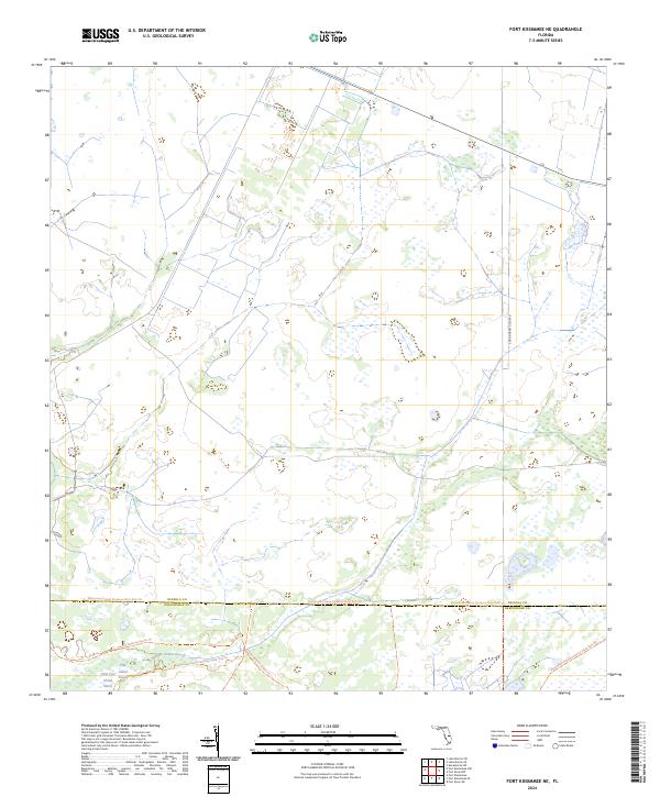
2024 Fort Kissimmee NE
Osceola County, FL
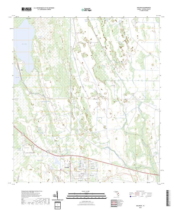
2024 Holopaw
Osceola County, FL
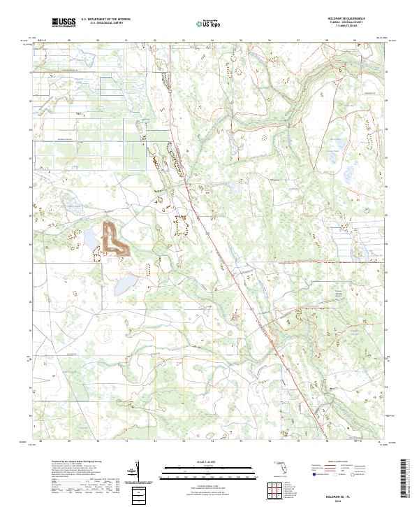
2024 Holopaw SE
Osceola County, FL
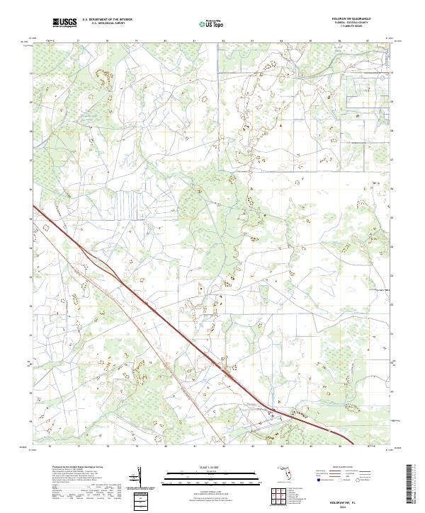
2024 Holopaw SW
Osceola County, FL
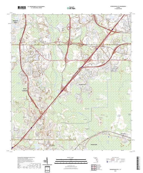
2024 Intercession City
Osceola County, FL
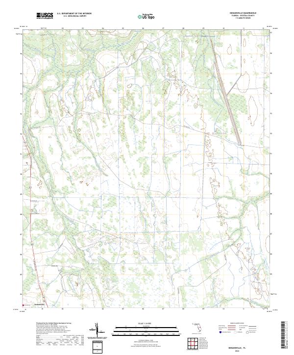
2024 Kenansville
Osceola County, FL
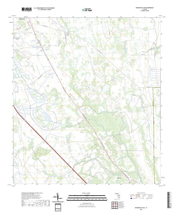
2024 Kenansville SW
Osceola County, FL
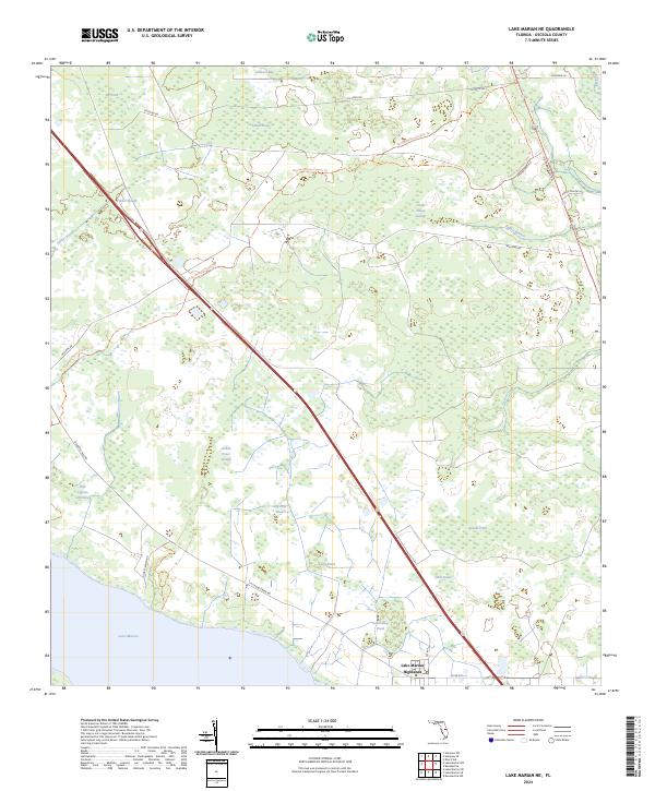
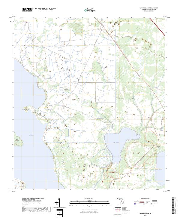
2024 Lake Marian NE
Osceola County, FL
2024 Lake Marian NW
Osceola County, FL
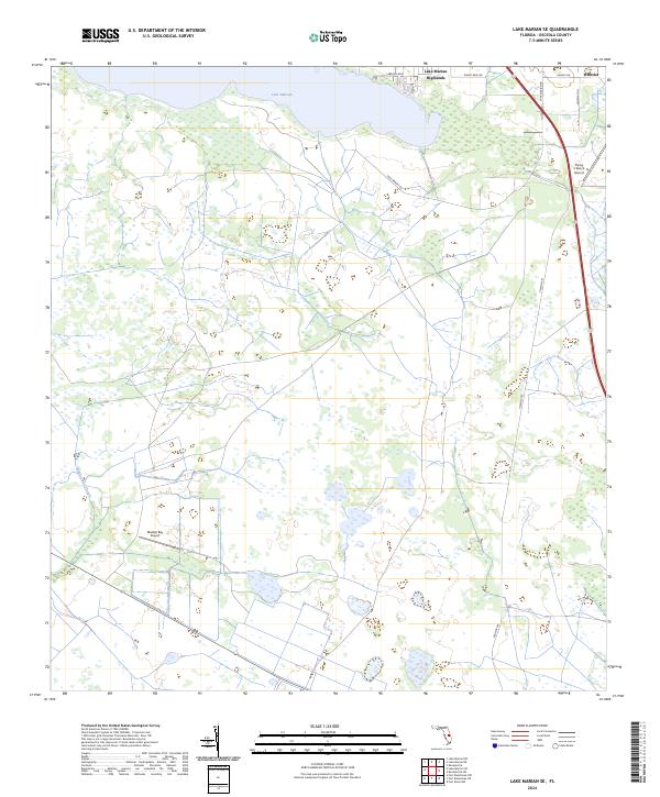
2024 Lake Marian SE
Osceola County, FL
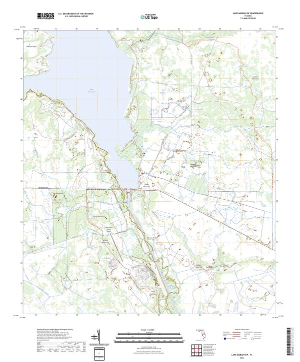
2024 Lake Marian SW
Osceola County, FL
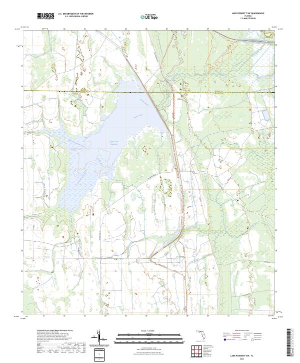
2024 Lake Poinsett SW
Osceola County, FL
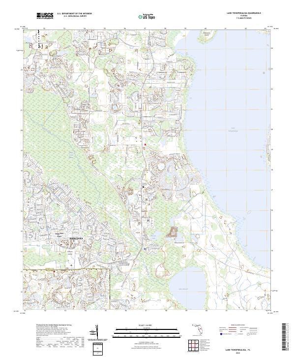
2024 Lake Tohopekaliga
Osceola County, FL
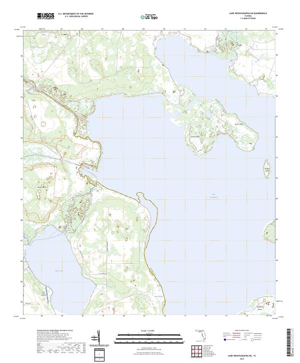
2024 Lake Weohyakapka NE
Osceola County, FL
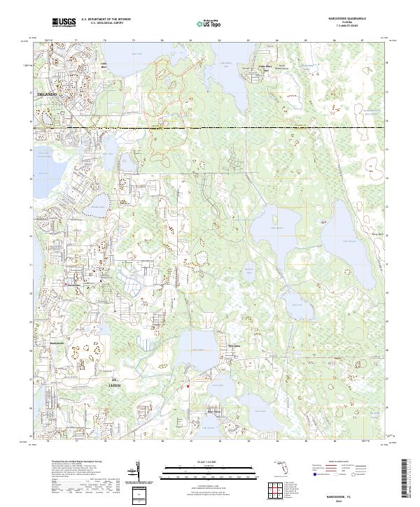
2024 Narcoossee
Osceola County, FL
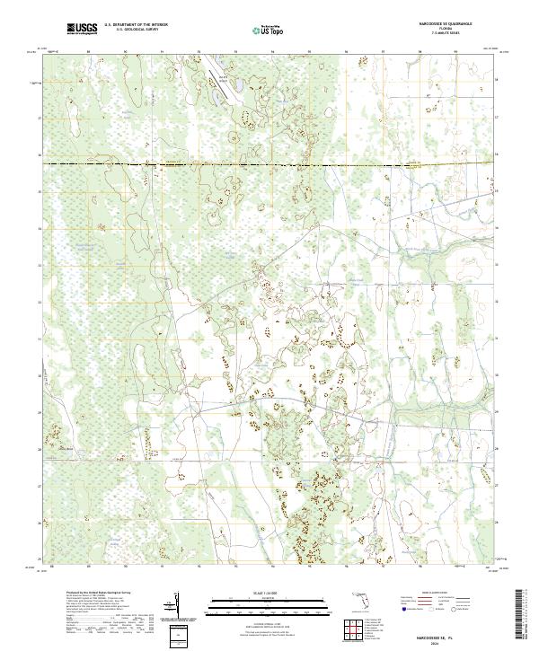
2024 Narcoossee SE
Osceola County, FL
2024 Saint Cloud North
Osceola County, FL
2024 Saint Cloud South
Osceola County, FL