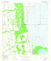
1953 Map of Kenansville SE
USGS Topo · Published 1973About this map
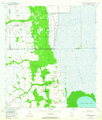
St Johns Marsh dominates the eastern half of this terrain, showing the complex hydrology of Indian River County before extensive modern drainage. Numerous instances of a Flowing Well are scattered throughout the landscape, indicating the importance of artesian water sources for the cattle operations that defined the region during the mid-20th century. Local landmarks like Mitchell Ranch and Leonard Ranch highlight the rural settlement patterns, while a Landing Field near the center of the sheet suggests the role of aviation in managing these large agricultural holdings. To the southeast, the shore of Blue Cypress Lake appears as a natural anchor, contrasted against the network of levees and spoil banks further north near Sixmile Creek. The map also records the jurisdictional boundaries between Osceola, Brevard, and Indian River counties as they intersect this marshy wilderness.
Find a feature on this map
11 named features on this map. Tap any name to fly to it.
Don’t see what you’re looking for? This feature index may not catch every label — zoom into the map to look around manually.
Map Details
Editions of this 1953 Kenansville SE Map
3 editions found
Other maps of this area

1953 · Fellsmere SW
USGS Topo · 1:24,000

1953 · Fellsmere NW
USGS Topo · 1:24,000

1953 · Fort Drum NW
USGS Topo · 1:24,000

1953 · Kenansville SW
USGS Topo · 1:24,000

1953 · Kenansville
USGS Topo · 1:24,000

1953 · Fort Drum NE
USGS Topo · 1:24,000

1953 · Kenansville NE
USGS Topo · 1:24,000

1953 · Kenansville SE
USGS Topo · 1:24,000

1953 · Fellsmere 4 NW
USGS Topo · 1:24,000

1956 · Fort Pierce
USGS Topo · 1:250,000