1953 Map of Fellsmere 4 NW
USGS Topo · Published 1954About this map
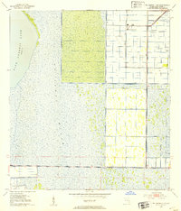
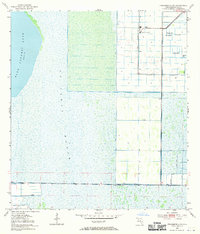
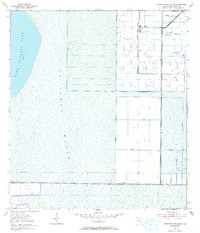
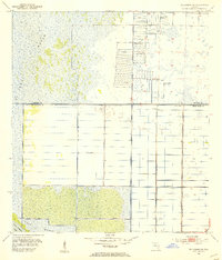
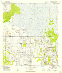
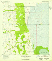
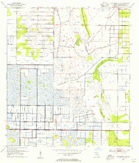
Agricultural development and water management define this mid-century landscape on the edge of the St Johns Marsh. The presence of a Sugar Processing Plant north of several grid-patterned fields indicates the scale of local industry during the early 1950s, supported by a network of drainage infrastructure. Numerous instances of a Flowing Well and an extensive system of the Levee illustrate the significant engineering required to manage the wetlands for cultivation. To the west, the open waters of Blue Cypress Lake contrast with the complex drainage works and a Spoil Bank found further south. This survey by the U.S. Geological Survey and the U. S. Corps of Engineers records the precise state of Florida's interior drainage before further modern expansion, including the placement of a Gaging Sta to monitor water levels in this critical basin.
Find a feature on this map
8 named features on this map. Tap any name to fly to it.
Don’t see what you’re looking for? This feature index may not catch every label — zoom into the map to look around manually.
Map Details
Editions of this 1953 Fellsmere 4 NW Map
3 editions found
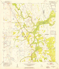
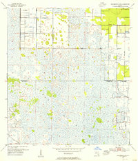
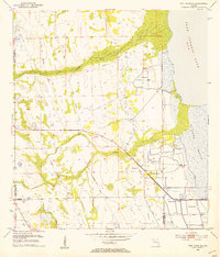
Other maps of this area

1949 · Fellsmere
USGS Topo · 1:24,000
1951 · Fellsmere
USGS Topo · 1:24,000
1953 · Fellsmere SW
USGS Topo · 1:24,000
1953 · Fort Drum
USGS Topo · 1:24,000
1953 · Fellsmere 4 SE
USGS Topo · 1:24,000
1953 · Fort Drum NE
USGS Topo · 1:24,000
1953 · Fellsmere 4 SW
USGS Topo · 1:24,000
1953 · Kenansville SE
USGS Topo · 1:24,000
1953 · Fellsmere 4 NE
USGS Topo · 1:24,000

1956 · Fort Pierce
USGS Topo · 1:250,000