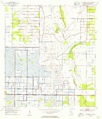
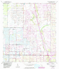
1953 Map of Fellsmere 4 NE
USGS Topo · Published 1955About this map
Extensive drainage and reclamation efforts define this portion of Indian River County, where the landscape is meticulously carved into a grid of canals and embankments. The dominance of numerous Levee and Spoil Bank features indicates a major transformation of the wetlands into controlled agricultural or water management zones. This engineering is particularly evident in the systematic layout of townships T. 31 S., T. 32 S., and T. 33 S., which provide a rigid structure to the otherwise fluid terrain. An Old Railroad Grade runs through the eastern sections, serving as a reminder of earlier transportation corridors that once connected these developing Florida lands before the modern road network took its current shape.
Find a feature on this map
6 named features on this map. Tap any name to fly to it.
Don’t see what you’re looking for? This feature index may not catch every label — zoom into the map to look around manually.
Map Details
Editions of this 1953 Fellsmere 4 NE Map
5 editions found
Other maps of this area

1949 · Fellsmere
USGS Topo · 1:24,000

1949 · Vero Beach
USGS Topo · 1:24,000

1949 · Sebastian
USGS Topo · 1:24,000

1949 · Oslo
USGS Topo · 1:24,000

1950 · Oslo
USGS Topo · 1:24,000

1950 · Vero Beach
USGS Topo · 1:24,000

1951 · Fellsmere
USGS Topo · 1:24,000

1951 · Sebastian
USGS Topo · 1:24,000

1953 · Fellsmere SW
USGS Topo · 1:24,000

1953 · Fellsmere 4 SE
USGS Topo · 1:24,000