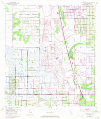
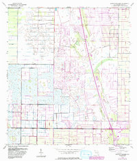
1953 Map of Fellsmere 4 NE
USGS Topo · Published 1971About this map
The lowlands of Indian River County are defined here by an intricate system of water management features, reflecting the mid-century effort to reclaim and develop coastal Florida. Extensive Levee structures and numerous Spoil Bank segments run through the landscape, delineating a grid of drainage canals and agricultural plots. The northeastern portion of the sheet shows the early layout of Vero Lake Estates, providing a record of residential expansion during a period of significant growth.
Find a feature on this map
10 named features on this map. Tap any name to fly to it.
Don’t see what you’re looking for? This feature index may not catch every label — zoom into the map to look around manually.
Map Details
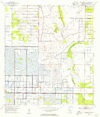
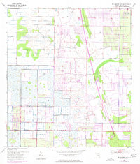
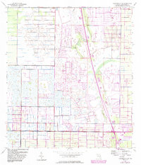
Editions of this 1953 Fellsmere 4 NE Map
5 editions found
Other maps of this area

1949 · Fellsmere
USGS Topo · 1:24,000

1949 · Vero Beach
USGS Topo · 1:24,000

1949 · Sebastian
USGS Topo · 1:24,000

1949 · Oslo
USGS Topo · 1:24,000

1950 · Oslo
USGS Topo · 1:24,000

1950 · Vero Beach
USGS Topo · 1:24,000

1951 · Fellsmere
USGS Topo · 1:24,000

1951 · Sebastian
USGS Topo · 1:24,000

1953 · Fellsmere SW
USGS Topo · 1:24,000

1953 · Fellsmere 4 SE
USGS Topo · 1:24,000