
1949 Map of Sebastian
USGS Topo · Published 1960About this map
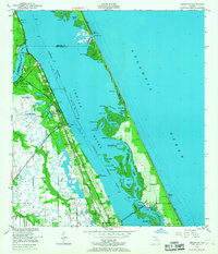
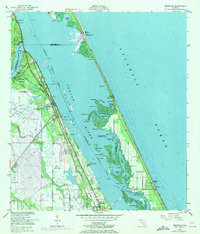
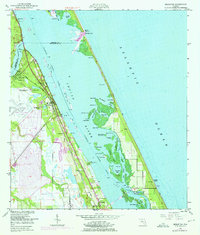
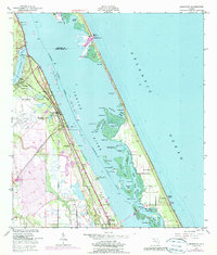
The Florida East Coast Railway corridor defines the settled western shore of the Indian River in this late 1940s survey. This coastal landscape is dominated by the complex aquatic geography of the Intracoastal Waterway, where numerous islands and lagoons such as Pauls Island and Preachers Hole sit protected behind the barrier beach. The presence of the Pelican Island Bird Sanctuary highlights the area's early conservation importance, while the Fleming Grant boundary reflects the region's colonial land history. On the mainland, the established communities of Sebastian, Roseland, and Wabasso are shown with their mid-century footprints, including local landmarks like the Macedonia Ch and the Roseland Airport. The map captures the vital connection between the mainland and the Atlantic Ocean via the Sebastian Inlet, a focal point for the region's maritime character and hydrology.
Find a feature on this map
44 named features on this map. Tap any name to fly to it.
Don’t see what you’re looking for? This feature index may not catch every label — zoom into the map to look around manually.
Map Details
Editions of this 1949 Sebastian Map
5 editions found
Other maps of this area

1948 · Riomar
USGS Topo · 1:24,000

1949 · Fellsmere
USGS Topo · 1:24,000

1949 · Sebastian NW
USGS Topo · 1:24,000

1949 · Vero Beach
USGS Topo · 1:24,000

1949 · Grant
USGS Topo · 1:24,000

1950 · Riomar
USGS Topo · 1:24,000

1950 · Vero Beach
USGS Topo · 1:24,000

1951 · Sebastian NW
USGS Topo · 1:24,000

1951 · Fellsmere
USGS Topo · 1:24,000

1951 · Grant
USGS Topo · 1:24,000