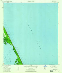
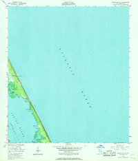
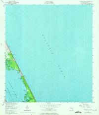
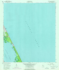
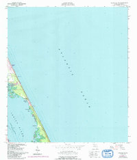
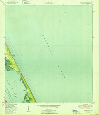
1949 Map of Sebastian NW
USGS Topo · Published 1960About this map
Indian River separates the mainland from the slender barrier strand that buffers the Atlantic Ocean in this mid-century survey. The landscape is defined by the labyrinthine wetlands and small estuaries along the western shore of the barrier island, where features like Mullet Creek, Ballard Cove, and Nancy Cr create a complex maritime environment. The tiny settlement at Evans Pines and a solitary Lookout Tower are some of the few developments on this stretch of land before the massive post-war boom changed the Florida coastline.
Find a feature on this map
23 named features on this map. Tap any name to fly to it.
Don’t see what you’re looking for? This feature index may not catch every label — zoom into the map to look around manually.
Map Details
Editions of this 1949 Sebastian NW Map
5 editions found
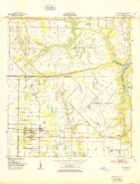
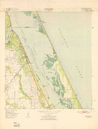
Other maps of this area

1949 · Fellsmere
USGS Topo · 1:24,000
1949 · Melbourne East
USGS Topo · 1:24,000
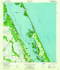
1949 · Sebastian
USGS Topo · 1:24,000
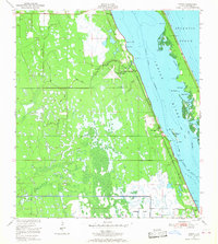
1949 · Grant
USGS Topo · 1:24,000
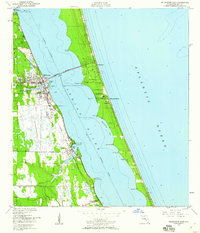
1951 · Sebastian NW
USGS Topo · 1:24,000

1951 · Melbourne East
USGS Topo · 1:24,000
1951 · Fellsmere
USGS Topo · 1:24,000

1951 · Grant
USGS Topo · 1:24,000
1951 · Sebastian
USGS Topo · 1:24,000

1955 · Orlando
USGS Topo · 1:250,000