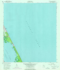
1949 Map of Sebastian NW
USGS Topo · Published 1977About this map
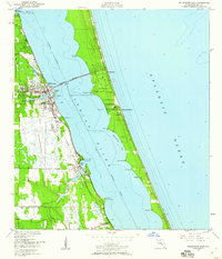
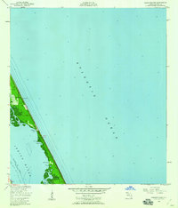
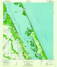
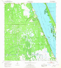
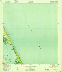
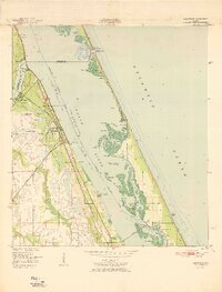
The barrier island complex of Brevard County is captured here in the mid-20th century, dominated by the narrow strip of land between the Atlantic Ocean and the Indian River. Development is concentrated along the coast at Floridana Beach and further south near Micco, while the interior marshlands and lagoons remain largely defined by natural water features like Mullet Creek and Middle Gap. The Intracoastal Waterway serves as the primary navigational artery through the river, marked by a Light for maritime safety.
Find a feature on this map
21 named features on this map. Tap any name to fly to it.
Don’t see what you’re looking for? This feature index may not catch every label — zoom into the map to look around manually.
Map Details
Editions of this 1949 Sebastian NW Map
5 editions found
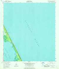
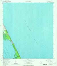
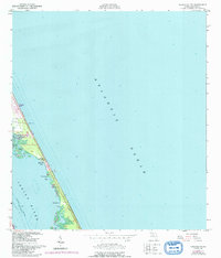
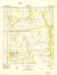
Other maps of this area

1949 · Fellsmere
USGS Topo · 1:24,000
1949 · Melbourne East
USGS Topo · 1:24,000
1949 · Sebastian NW
USGS Topo · 1:24,000
1949 · Sebastian
USGS Topo · 1:24,000
1949 · Grant
USGS Topo · 1:24,000
1951 · Sebastian NW
USGS Topo · 1:24,000

1951 · Melbourne East
USGS Topo · 1:24,000
1951 · Fellsmere
USGS Topo · 1:24,000

1951 · Grant
USGS Topo · 1:24,000
1951 · Sebastian
USGS Topo · 1:24,000