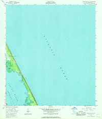
1949 Map of Sebastian NW
USGS Topo · Published 1967About this map
The Indian River and the Intracoastal Waterway dominate this coastal survey, where the narrow barrier islands of Florida's Atlantic coast are punctuated by small settlements and diverse maritime features. Recorded in the late 1940s, the map highlights the sparse development of the era, centered on locales like Evans Pines and Ballard Pines. A Lookout Tower stands as a prominent landmark on the northern reaches of the island, overlooking the intersection of the ocean and the lagoon.
Find a feature on this map
19 named features on this map. Tap any name to fly to it.
Don’t see what you’re looking for? This feature index may not catch every label — zoom into the map to look around manually.
Map Details
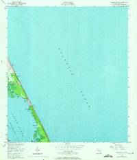
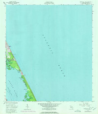
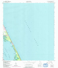
Editions of this 1949 Sebastian NW Map
5 editions found
Other maps of this area

1949 · Fellsmere
USGS Topo · 1:24,000

1949 · Melbourne East
USGS Topo · 1:24,000

1949 · Sebastian NW
USGS Topo · 1:24,000

1949 · Sebastian
USGS Topo · 1:24,000

1949 · Grant
USGS Topo · 1:24,000

1951 · Sebastian NW
USGS Topo · 1:24,000

1951 · Melbourne East
USGS Topo · 1:24,000

1951 · Fellsmere
USGS Topo · 1:24,000

1951 · Grant
USGS Topo · 1:24,000

1951 · Sebastian
USGS Topo · 1:24,000