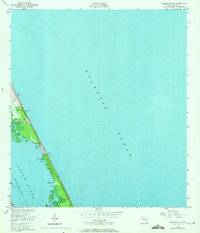
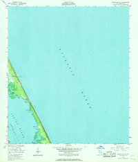
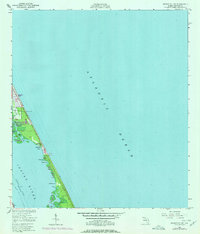
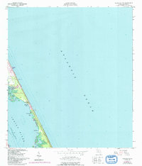
1949 Map of Sebastian NW
USGS Topo · Published 1971About this map
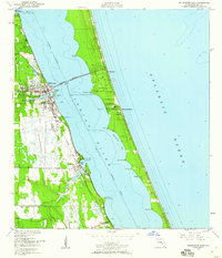
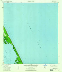
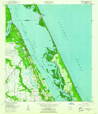
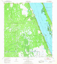
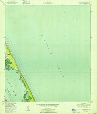
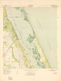
The barrier island landscape of Brevard County is defined by the thin strip of land separating the Atlantic Ocean from the Indian River. This 1949 survey, updated with 1970 aerial data, shows the early development of coastal communities like Floridana Beach and Evans Pines before the extensive modern build-out of the region. The interior shoreline of the river is punctuated by numerous small water bodies and marshy features, including Ballard Cove, Nancy Cr, and Mud Hole.
Find a feature on this map
21 named features on this map. Tap any name to fly to it.
Don’t see what you’re looking for? This feature index may not catch every label — zoom into the map to look around manually.
Map Details
Editions of this 1949 Sebastian NW Map
5 editions found
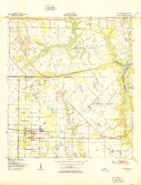
Other maps of this area

1949 · Fellsmere
USGS Topo · 1:24,000
1949 · Melbourne East
USGS Topo · 1:24,000
1949 · Sebastian NW
USGS Topo · 1:24,000
1949 · Sebastian
USGS Topo · 1:24,000
1949 · Grant
USGS Topo · 1:24,000
1951 · Sebastian NW
USGS Topo · 1:24,000

1951 · Melbourne East
USGS Topo · 1:24,000
1951 · Fellsmere
USGS Topo · 1:24,000

1951 · Grant
USGS Topo · 1:24,000
1951 · Sebastian
USGS Topo · 1:24,000