
1949 Map of Fellsmere
USGS Topo · Published 1959About this map
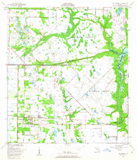
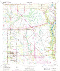
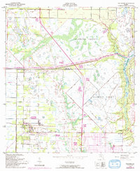
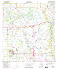
The Fellsmere townsite and its geometric grid dominate the southwestern portion of this landscape, situated just below the boundary of Brevard Co Indian River Co. In the late 1940s, the local economy and transit revolved around the Trans Florida Central Line, which runs eastward through the small settlements of Brookside and River Bridge. Much of the surrounding area remains defined by the sprawling Fleming Grant, a region marked by intricate drainage patterns and wetlands.
Find a feature on this map
14 named features on this map. Tap any name to fly to it.
Don’t see what you’re looking for? This feature index may not catch every label — zoom into the map to look around manually.
Map Details
Editions of this 1949 Fellsmere Map
5 editions found
Other maps of this area

1949 · Sebastian NW
USGS Topo · 1:24,000

1949 · Vero Beach
USGS Topo · 1:24,000

1949 · Sebastian
USGS Topo · 1:24,000

1949 · Grant
USGS Topo · 1:24,000

1950 · Vero Beach
USGS Topo · 1:24,000

1951 · Sebastian NW
USGS Topo · 1:24,000

1951 · Fellsmere
USGS Topo · 1:24,000

1951 · Grant
USGS Topo · 1:24,000

1951 · Sebastian
USGS Topo · 1:24,000

1953 · Fellsmere SW
USGS Topo · 1:24,000