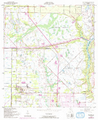
1949 Map of Fellsmere
USGS Topo · Published 1992About this map
Fellsmere serves as the primary hub of this coastal Florida landscape, where reclaimed wetlands meet organized agricultural and residential development in the mid-20th century. Large tracts of the historic Fleming Grant dominate the interior, shaped by an extensive network of drainage canals and the presence of several Fish Hatchery sites. The landscape transition is evident where the grid of Vero Lake Estates begins to encroach upon the natural curves of the North Prong St Sebastian River. Cultural markers like the Old Sebastian Cem and the River Bridge provide important touchstones for genealogical research, while the Telephone Line and the early footprint of the Sebastian Municipal Airport illustrate the infrastructure of a growing Indian River County. The map captures a moment of significant land management before more modern suburban expansion.
Find a feature on this map
12 named features on this map. Tap any name to fly to it.
Don’t see what you’re looking for? This feature index may not catch every label — zoom into the map to look around manually.
Map Details
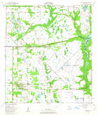
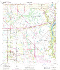
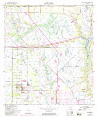
Editions of this 1949 Fellsmere Map
5 editions found
Other maps of this area

1949 · Fellsmere
USGS Topo · 1:24,000

1949 · Sebastian NW
USGS Topo · 1:24,000

1949 · Vero Beach
USGS Topo · 1:24,000

1949 · Sebastian
USGS Topo · 1:24,000

1949 · Grant
USGS Topo · 1:24,000

1950 · Vero Beach
USGS Topo · 1:24,000

1951 · Sebastian NW
USGS Topo · 1:24,000

1951 · Fellsmere
USGS Topo · 1:24,000

1951 · Grant
USGS Topo · 1:24,000

1951 · Sebastian
USGS Topo · 1:24,000