
1948 Map of Riomar
USGS Topo · Published 1966About this map
Vero Beach and the adjacent barrier island are shown here in the late 1940s, just as the Atlantic coast began its post-war development surge. The map highlights the early layout of the Riomar Country Club Golf Course and the residential corridors along Beachland Blvd, which served as the primary link across the Indian River via the Vero Beach Bridge. The coastal landscape is defined by the Intracoastal Waterway and a series of sheltered water bodies including McCullers Cove, Bethel Creek, and Gifford Cut. This 1948 survey, based on aerial photographs from 1946, captures the barrier island's transition from undeveloped shoreline to a planned leisure community, with landmarks like the beachside Tower and Tank marking the early infrastructure of this coastal Florida settlement.
Find a feature on this map
24 named features on this map. Tap any name to fly to it.
Don’t see what you’re looking for? This feature index may not catch every label — zoom into the map to look around manually.
Map Details
Editions of this 1948 Riomar Map
4 editions found
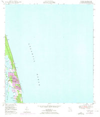
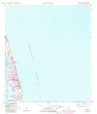
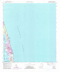
Other maps of this area

1948 · Indrio
USGS Topo · 1:24,000

1949 · Vero Beach
USGS Topo · 1:24,000

1949 · Sebastian
USGS Topo · 1:24,000

1949 · Oslo
USGS Topo · 1:24,000

1950 · Riomar
USGS Topo · 1:24,000

1950 · Oslo
USGS Topo · 1:24,000

1950 · Indrio
USGS Topo · 1:24,000

1950 · Vero Beach
USGS Topo · 1:24,000

1951 · Sebastian
USGS Topo · 1:24,000

1956 · Fort Pierce
USGS Topo · 1:250,000