
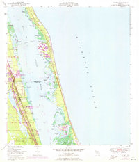
1948 Map of Indrio
USGS Topo · Published 1968About this map
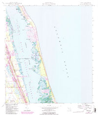
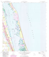
Viking and Indrio represent the primary coastal settlements along the Florida East Coast rail corridor in the late 1940s. This survey, compiled from 1946 aerial photography, details a landscape defined by the complex barrier islands and lagoons separating the Indian River from the Atlantic Ocean. The western shoreline is dotted with small-scale development and a local Cem, while the St Lucie County Airport sits at the southern edge of the quadrangle.
Find a feature on this map
38 named features on this map. Tap any name to fly to it.
Don’t see what you’re looking for? This feature index may not catch every label — zoom into the map to look around manually.
Map Details
Editions of this 1948 Indrio Map
4 editions found
Other maps of this area

1948 · Riomar
USGS Topo · 1:24,000

1949 · Fort Pierce
USGS Topo · 1:24,000

1949 · Vero Beach
USGS Topo · 1:24,000

1949 · Oslo
USGS Topo · 1:24,000

1949 · Fort Pierce NW
USGS Topo · 1:24,000

1950 · Riomar
USGS Topo · 1:24,000

1950 · Fort Pierce
USGS Topo · 1:24,000

1950 · Fort Pierce NW
USGS Topo · 1:24,000

1950 · Oslo
USGS Topo · 1:24,000

1950 · Indrio
USGS Topo · 1:24,000