
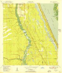
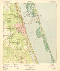
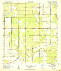
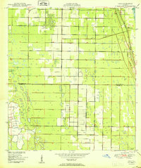
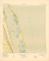
1949 Map of Fort Pierce NW
USGS Topo · Published 1983About this map
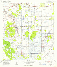
Tenmile Creek snakes through the southern reaches of this landscape, providing a natural contrast to the rigid grid of drainage canals and citrus groves that define the area. Originally surveyed in the late 1940s and updated with early 1980s data, this document captures the expansion of infrastructure in St Lucie Co. The diagonal path of Floridas Turnpike cuts through the region, featuring Interchange 56 and designated Rest Areas. The map highlights a transition toward aviation and modern transit, evidenced by the St Lucie County International Airport in the northeast and a Private Landing Field further south. Smaller settlements like the Trailer Park appear alongside vital water management features such as the Belcher Canal, reflecting the systematic development of the Florida interior during the mid-20th century.
Find a feature on this map
14 named features on this map. Tap any name to fly to it.
Don’t see what you’re looking for? This feature index may not catch every label — zoom into the map to look around manually.
Map Details
Editions of this 1949 Fort Pierce NW Map
This is the sole edition of this map. No revisions or reprints were ever made.
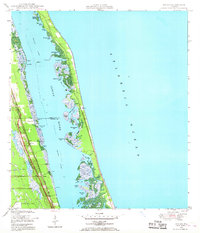
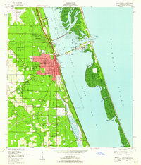
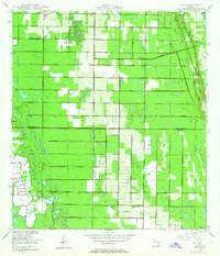
Other maps of this area
1948 · Ankona
USGS Topo · 1:24,000
1948 · Indrio
USGS Topo · 1:24,000
1949 · Fort Pierce
USGS Topo · 1:24,000
1949 · Oslo
USGS Topo · 1:24,000

1950 · Ankona
USGS Topo · 1:24,000
1950 · Fort Pierce
USGS Topo · 1:24,000
1950 · Fort Pierce NW
USGS Topo · 1:24,000
1950 · Oslo
USGS Topo · 1:24,000
1950 · Indrio
USGS Topo · 1:24,000
1953 · Okeechobee 1 SE
USGS Topo · 1:24,000
Featured Places
- Saint Lucie County, FL
- United States
- Florida
- Fort Pierce, Saint Lucie County
- Chupco's Landing, Saint Lucie County