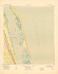
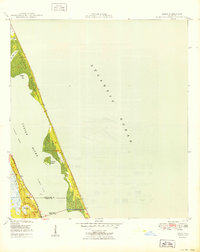
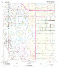
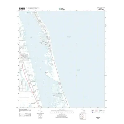
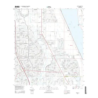
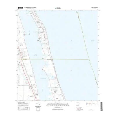
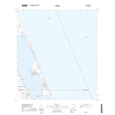
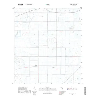
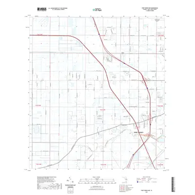
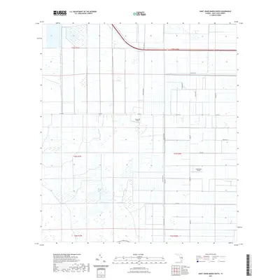
1950 Map of Indrio
USGS Topo · Published 1950About this map
The coastal environment of the Florida Atlantic shore is captured here just after World War II, showing a landscape defined by the intricate barrier island and lagoon system. Along the western shoreline of the Indian River, the settlement of Viking stands as a focal point of habitation between the citrus groves and the water. The map documents the natural hydrology of the area, including the winding passage of Prang Island Cr, which snakes through the mangrove and marsh fringes typical of this stretch of the coast. This 1950 edition reflect a period when the Florida East Coast Railway and U.S. Highway 1 dictated the pattern of growth, while the barrier island itself remained largely composed of narrow sandy reaches and dense tidal vegetation before the era of intensive beachfront development.
Find a feature on this map
2 named features on this map. Tap any name to fly to it.
Don’t see what you’re looking for? This feature index may not catch every label — zoom into the map to look around manually.
Map Details
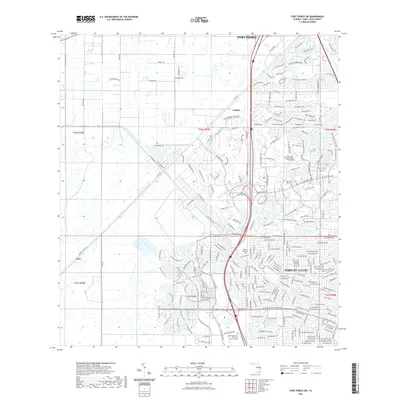
Editions of this 1950 Indrio Map
This is the sole edition of this map. No revisions or reprints were ever made.
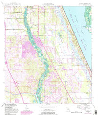
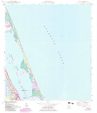
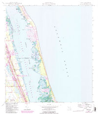
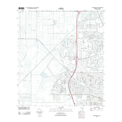
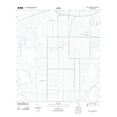
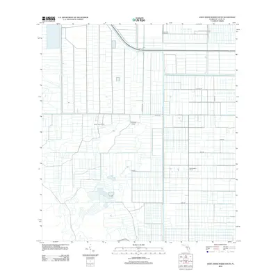
Historical Maps of Vero Beach Through Time
46 maps found
1948 Ankona
St. Lucie County, FL
1948 Eden
St. Lucie County, FL
1948 Indrio
St. Lucie County, FL

1949 Fort Pierce NW
St. Lucie County, FL

1950 Ankona
St. Lucie County, FL
1950 Eden
St. Lucie County, FL
1950 Fort Pierce NW
St. Lucie County, FL
1950 Indrio
St. Lucie County, FL
1953 Fort Pierce SW
St. Lucie County, FL
1953 North Of Bluefield
St. Lucie County, FL
1953 St. Johns Marsh South
St. Lucie County, FL
2012 Ankona
St. Lucie County, FL
2012 Eden
St. Lucie County, FL
2012 Fort Pierce NW
St. Lucie County, FL
2012 Fort Pierce SW
St. Lucie County, FL
2012 Indrio
St. Lucie County, FL
2012 North of Bluefield
St. Lucie County, FL
2012 Saint Johns Marsh South
St. Lucie County, FL
2015 Ankona
St. Lucie County, FL
2015 Eden
St. Lucie County, FL
2015 Fort Pierce NW
St. Lucie County, FL
2015 Fort Pierce SW
St. Lucie County, FL
2015 Indrio
St. Lucie County, FL
2015 North of Bluefield
St. Lucie County, FL
2015 Saint Johns Marsh South
St. Lucie County, FL
2018 Ankona
St. Lucie County, FL
2018 Eden
St. Lucie County, FL
2018 Fort Pierce NW
St. Lucie County, FL
2018 Fort Pierce SW
St. Lucie County, FL
2018 Indrio
St. Lucie County, FL
2018 North of Bluefield
St. Lucie County, FL
2018 Saint Johns Marsh South
St. Lucie County, FL
2021 Ankona
St. Lucie County, FL
2021 Eden
St. Lucie County, FL
2021 Fort Pierce NW
St. Lucie County, FL
2021 Fort Pierce SW
St. Lucie County, FL
2021 Indrio
St. Lucie County, FL
2021 North of Bluefield
St. Lucie County, FL
2021 Saint Johns Marsh South
St. Lucie County, FL
2024 Ankona
St. Lucie County, FL
2024 Eden
St. Lucie County, FL
2024 Fort Pierce NW
St. Lucie County, FL
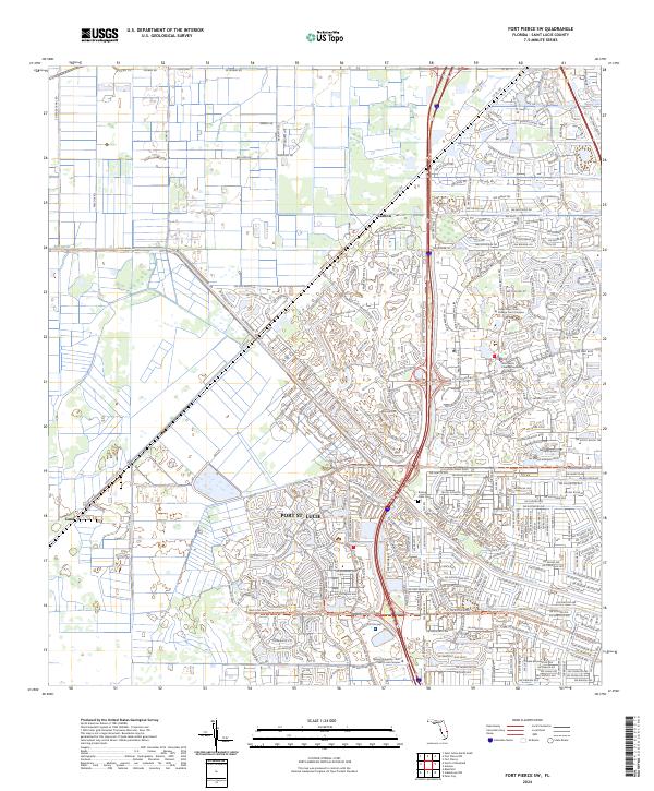
2024 Fort Pierce SW
St. Lucie County, FL
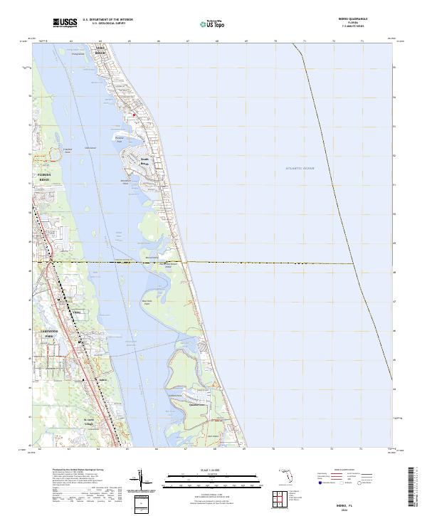
2024 Indrio
St. Lucie County, FL
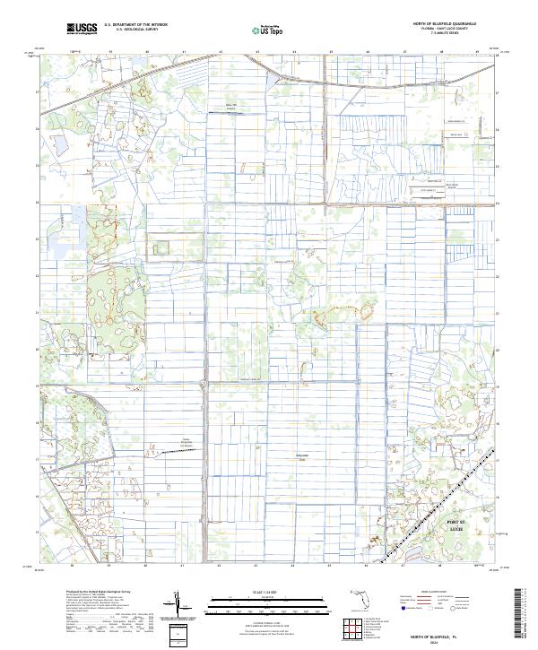
2024 North of Bluefield
St. Lucie County, FL
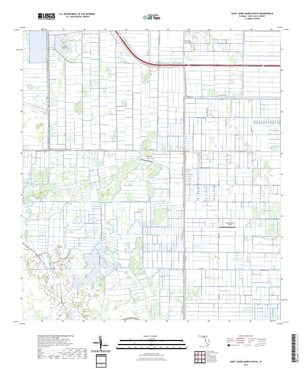
2024 Saint Johns Marsh South
St. Lucie County, FL