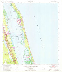
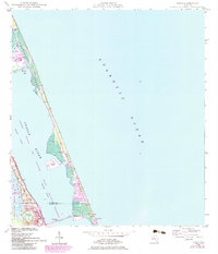
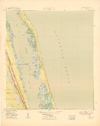
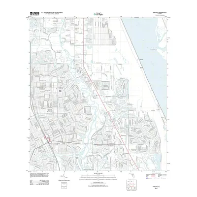
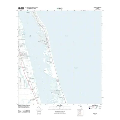
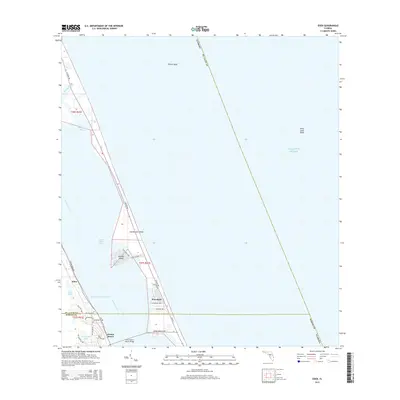
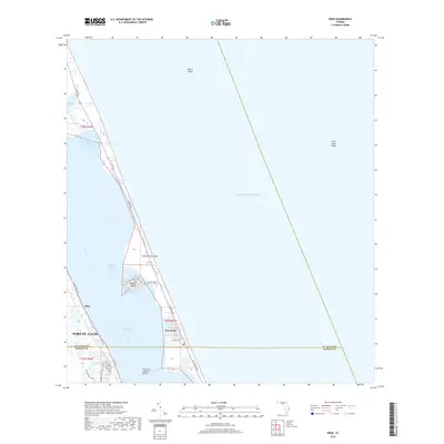
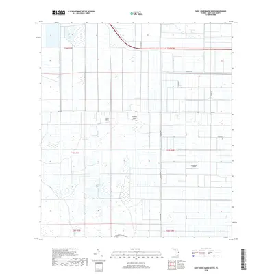
1948 Map of Indrio
USGS Topo · Published 1970About this map
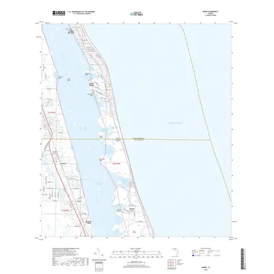
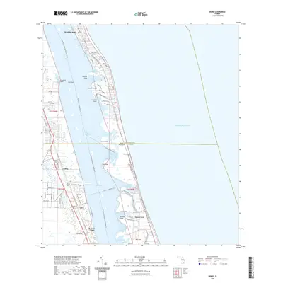
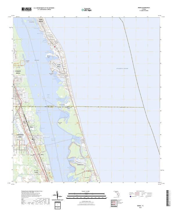
Indian River and the complex barrier island system dominate this coastal survey, where the Intracoastal Waterway threads through a labyrinth of small islands and coves. The settlement of Viking and the community of Indrio sit along the corridor defined by the Florida East Coast railway, which runs parallel to the shoreline. The map reveals an interesting contrast between the developed mainland, featuring the St Lucie County Airport, and the largely natural terrain of the barrier islands. Numerous water features with evocative local names such as Hells Pocket, Starvation Cove, and Fish House Cove suggest a landscape deeply tied to fishing and maritime navigation. Revisions from 1970 aerial photography, shown in purple, highlight the growth of man-made canals and residential developments around Porpoise Bay and Garfield Cut, documenting the mid-century transition from wild wetlands to an engineered coastal environment.
Find a feature on this map
42 named features on this map. Tap any name to fly to it.
Don’t see what you’re looking for? This feature index may not catch every label — zoom into the map to look around manually.
Map Details
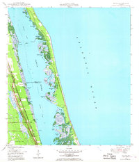
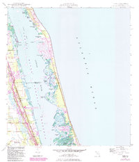
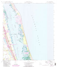
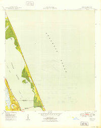
Editions of this 1948 Indrio Map
4 editions found
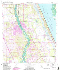
Historical Maps of Vero Beach Through Time
46 maps found
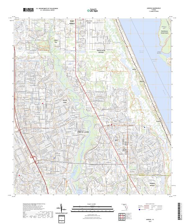
1948 Ankona
St. Lucie County, FL
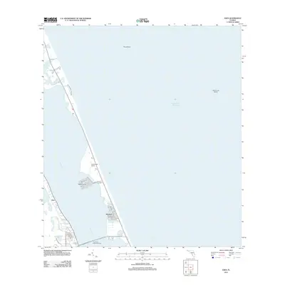
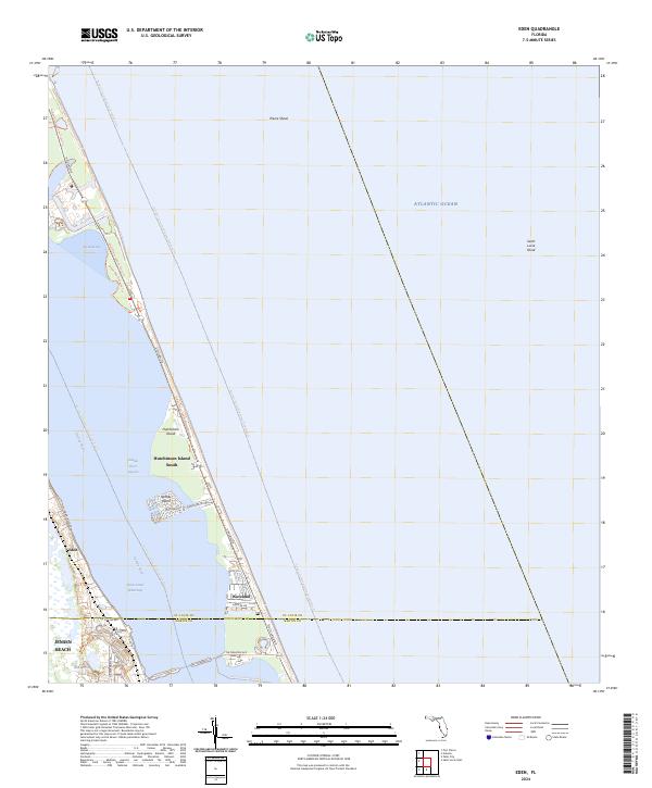
1948 Eden
St. Lucie County, FL
1948 Indrio
St. Lucie County, FL

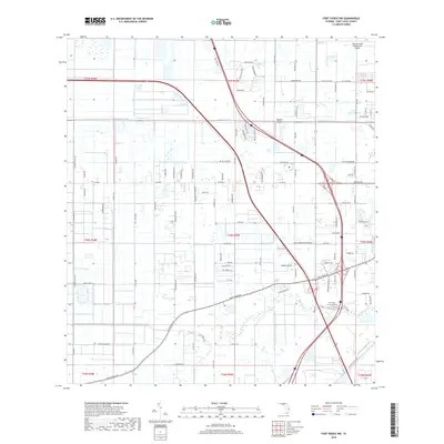
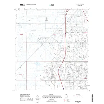
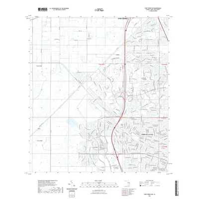
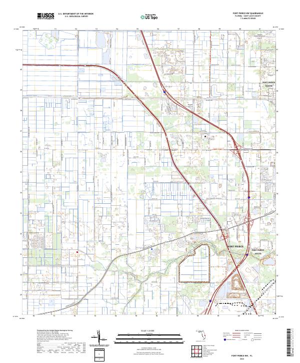
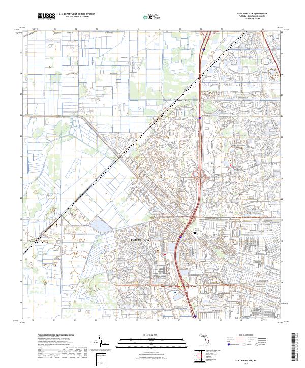
1949 Fort Pierce NW
St. Lucie County, FL

1950 Ankona
St. Lucie County, FL
1950 Eden
St. Lucie County, FL
1950 Fort Pierce NW
St. Lucie County, FL
1950 Indrio
St. Lucie County, FL
1953 Fort Pierce SW
St. Lucie County, FL
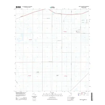
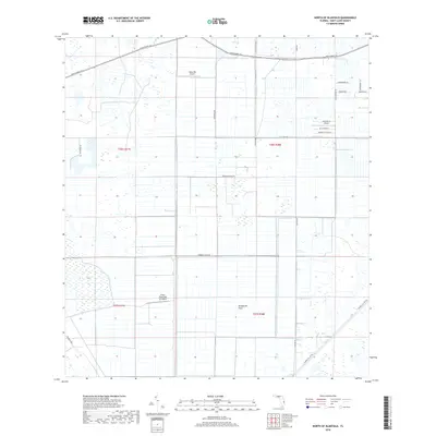
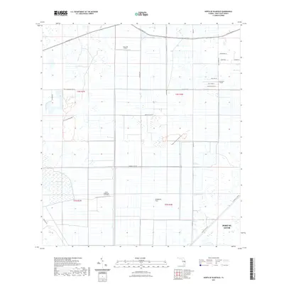
1953 North Of Bluefield
St. Lucie County, FL
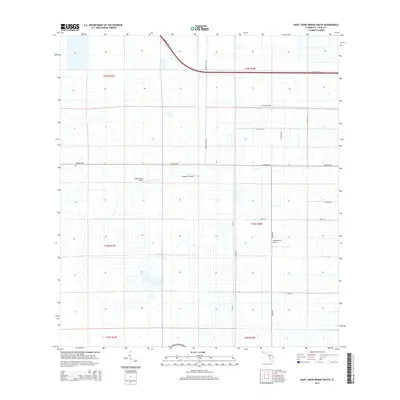
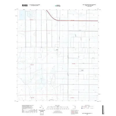
1953 St. Johns Marsh South
St. Lucie County, FL
2012 Ankona
St. Lucie County, FL
2012 Eden
St. Lucie County, FL
2012 Fort Pierce NW
St. Lucie County, FL
2012 Fort Pierce SW
St. Lucie County, FL
2012 Indrio
St. Lucie County, FL
2012 North of Bluefield
St. Lucie County, FL
2012 Saint Johns Marsh South
St. Lucie County, FL
2015 Ankona
St. Lucie County, FL
2015 Eden
St. Lucie County, FL
2015 Fort Pierce NW
St. Lucie County, FL
2015 Fort Pierce SW
St. Lucie County, FL
2015 Indrio
St. Lucie County, FL
2015 North of Bluefield
St. Lucie County, FL
2015 Saint Johns Marsh South
St. Lucie County, FL
2018 Ankona
St. Lucie County, FL
2018 Eden
St. Lucie County, FL
2018 Fort Pierce NW
St. Lucie County, FL
2018 Fort Pierce SW
St. Lucie County, FL
2018 Indrio
St. Lucie County, FL
2018 North of Bluefield
St. Lucie County, FL
2018 Saint Johns Marsh South
St. Lucie County, FL
2021 Ankona
St. Lucie County, FL
2021 Eden
St. Lucie County, FL
2021 Fort Pierce NW
St. Lucie County, FL
2021 Fort Pierce SW
St. Lucie County, FL
2021 Indrio
St. Lucie County, FL
2021 North of Bluefield
St. Lucie County, FL
2021 Saint Johns Marsh South
St. Lucie County, FL
2024 Ankona
St. Lucie County, FL
2024 Eden
St. Lucie County, FL
2024 Fort Pierce NW
St. Lucie County, FL
2024 Fort Pierce SW
St. Lucie County, FL
2024 Indrio
St. Lucie County, FL
2024 North of Bluefield
St. Lucie County, FL
2024 Saint Johns Marsh South
St. Lucie County, FL