1948 Map of Riomar
USGS Topo · Published 1983About this map
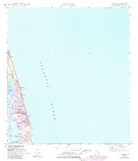
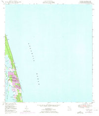
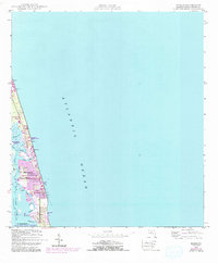
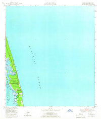
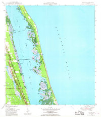
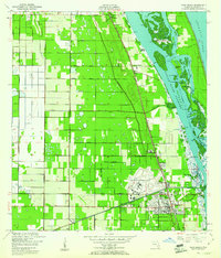
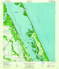
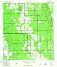
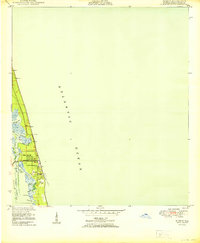
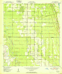
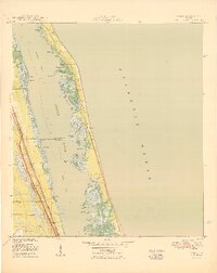
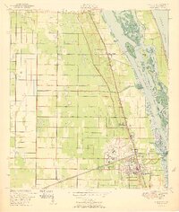
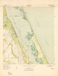
Vero Beach and its surrounding barrier island communities are depicted during a period of transition, combining early post-war development with later 20th-century urban expansion. The geography is defined by the Indian River and the Intracoastal Waterway, which separate the mainland from the coastal reaches of Riomar and Indian River Shores. A military presence is noted at the Vero Beach Tracking Annex (USAF), while recreational land use is evident at the Golf Course and several waterfront parks, including Humiston Park and Memorial Island Park. The landscape is a complex of coves and creeks, such as McCullers Cove, Jandrew Cove, and Riomar Cr, showing how the natural hydrology of the Florida coast shaped early residential platting. Purple overprinting reveals the growth of urban areas along Beachland Blvd and the development of the Indian River Aquatic Preserve.
Find a feature on this map
37 named features on this map. Tap any name to fly to it.
Don’t see what you’re looking for? This feature index may not catch every label — zoom into the map to look around manually.
Map Details
Editions of this 1948 Riomar Map
4 editions found
Other maps of this area
1948 · Riomar
USGS Topo · 1:24,000
1948 · Indrio
USGS Topo · 1:24,000
1949 · Vero Beach
USGS Topo · 1:24,000
1949 · Sebastian
USGS Topo · 1:24,000
1949 · Oslo
USGS Topo · 1:24,000
1950 · Riomar
USGS Topo · 1:24,000
1950 · Oslo
USGS Topo · 1:24,000
1950 · Indrio
USGS Topo · 1:24,000
1950 · Vero Beach
USGS Topo · 1:24,000
1951 · Sebastian
USGS Topo · 1:24,000