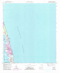
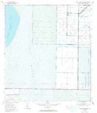
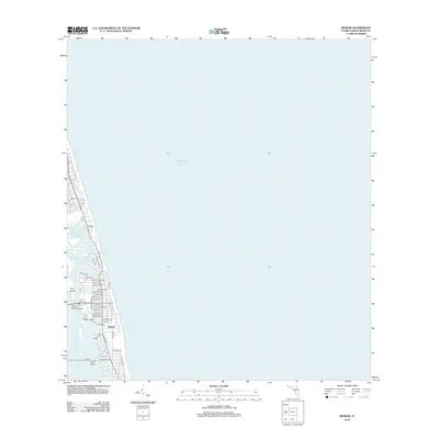
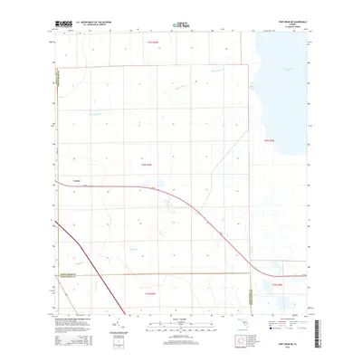
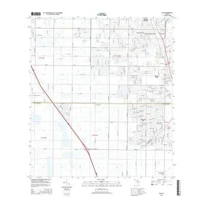
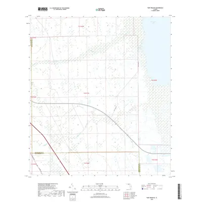
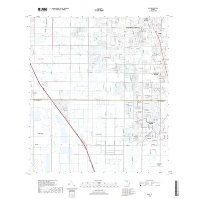
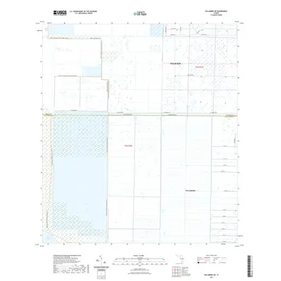
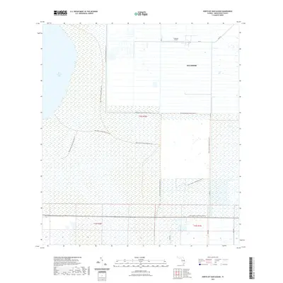
1948 Map of Riomar
USGS Topo · Published 1993About this map
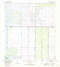
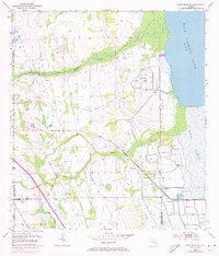
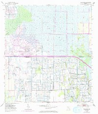
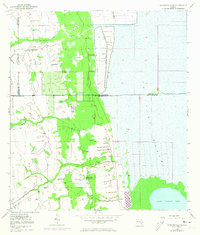
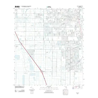
Vero Beach and its barrier island communities are shown here during a period of mid-century coastal development, integrated with earlier surveys from the late 1940s. The landscape is defined by the thin strip of land separating the Atlantic Ocean from the Indian River, where the Intracoastal Waterway cuts through sheltered waters like Bethel Creek and McCullers Cove. The presence of the Vero Beach Tracking Annex (USAF) on the northern end of the island reflects the region's mid-century strategic importance for aerospace and defense monitoring.
Find a feature on this map
28 named features on this map. Tap any name to fly to it.
Don’t see what you’re looking for? This feature index may not catch every label — zoom into the map to look around manually.
Map Details
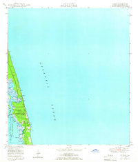
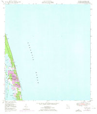
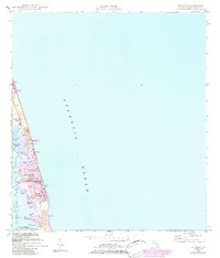
Editions of this 1948 Riomar Map
4 editions found
Historical Maps of Vero Beach Through Time
56 maps found
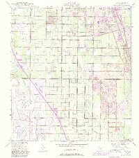
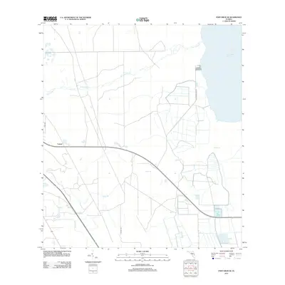
1948 Riomar
Indian River County, FL
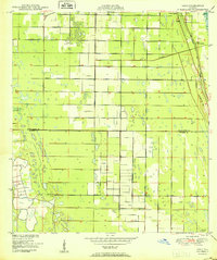
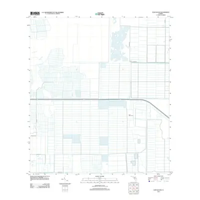
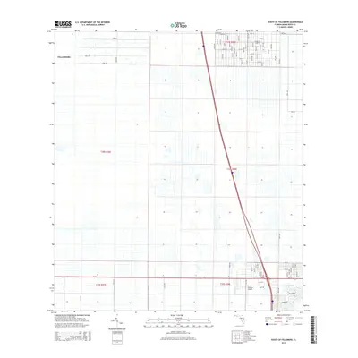
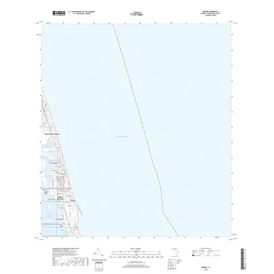
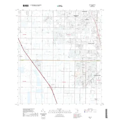
1949 Oslo
Indian River County, FL
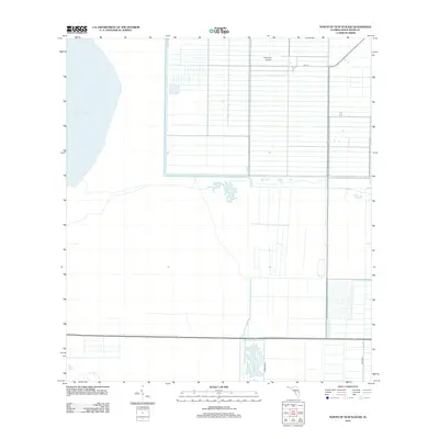
1950 Oslo
Indian River County, FL
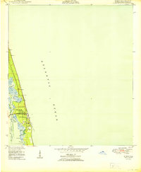
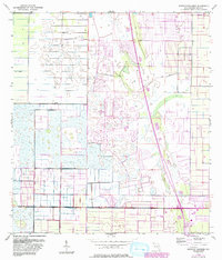
1950 Riomar
Indian River County, FL
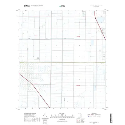
1953 East of Gum Slough
Indian River County, FL
1953 Fellsmere SW
Indian River County, FL
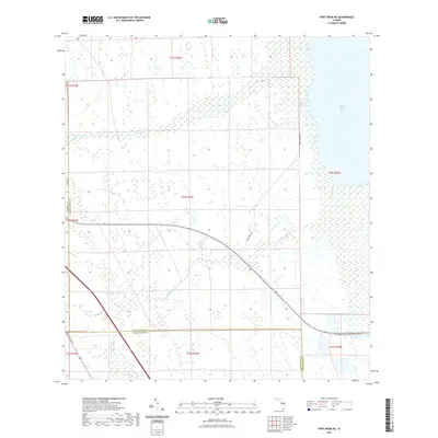
1953 Fort Drum NE
Indian River County, FL
1953 Gum Slough
Indian River County, FL
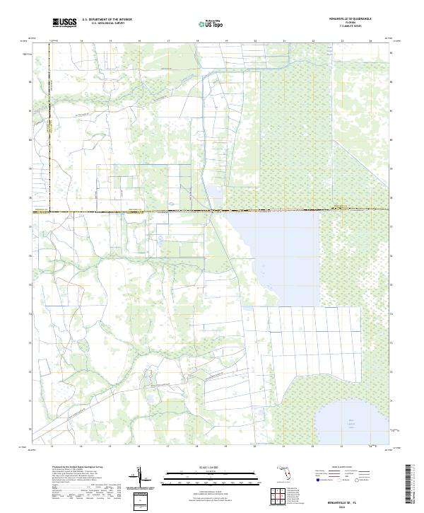
1953 Kenansville SE
Indian River County, FL
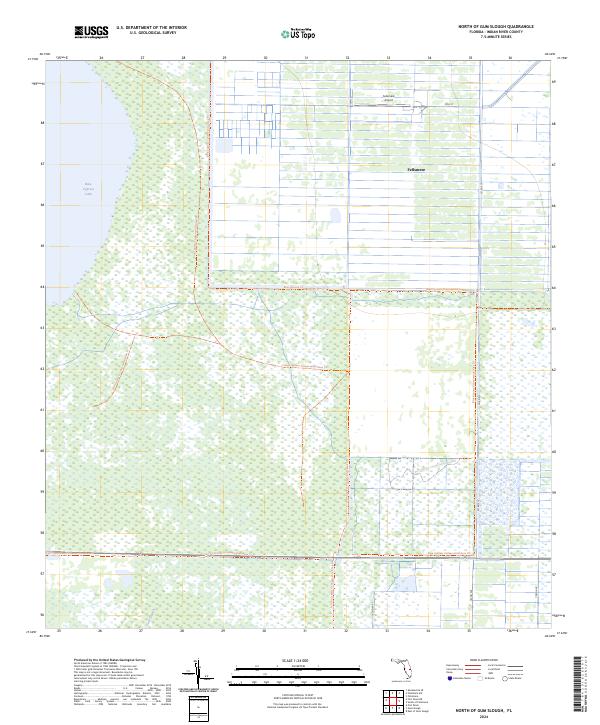
1953 North Of Gum Slough
Indian River County, FL
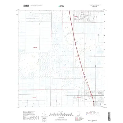
1953 South of Fellsmere
Indian River County, FL
2012 East of Gum Slough
Indian River County, FL
2012 Fellsmere SW
Indian River County, FL
2012 Fort Drum NE
Indian River County, FL
2012 Gum Slough
Indian River County, FL

2012 Kenansville SE
Indian River County, FL
2012 North of Gum Slough
Indian River County, FL
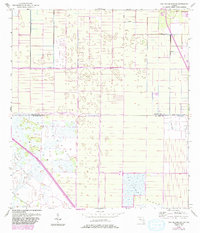
2012 Oslo
Indian River County, FL
2012 Riomar
Indian River County, FL
2012 South of Fellsmere
Indian River County, FL
2015 East of Gum Slough
Indian River County, FL
2015 Fellsmere SW
Indian River County, FL
2015 Fort Drum NE
Indian River County, FL
2015 Gum Slough
Indian River County, FL
2015 Kenansville SE
Indian River County, FL
2015 North of Gum Slough
Indian River County, FL
2015 Oslo
Indian River County, FL

2015 Riomar
Indian River County, FL
2015 South of Fellsmere
Indian River County, FL
2018 East of Gum Slough
Indian River County, FL
2018 Fellsmere SW
Indian River County, FL
2018 Fort Drum NE
Indian River County, FL
2018 Gum Slough
Indian River County, FL
2018 Kenansville SE
Indian River County, FL
2018 North of Gum Slough
Indian River County, FL
2018 Oslo
Indian River County, FL
2018 Riomar
Indian River County, FL
2018 South of Fellsmere
Indian River County, FL
2021 East of Gum Slough
Indian River County, FL
2021 Fellsmere SW
Indian River County, FL
2021 Fort Drum NE
Indian River County, FL
2021 Gum Slough
Indian River County, FL
2021 Kenansville SE
Indian River County, FL
2021 North of Gum Slough
Indian River County, FL
2021 Oslo
Indian River County, FL
2021 Riomar
Indian River County, FL
2021 South of Fellsmere
Indian River County, FL
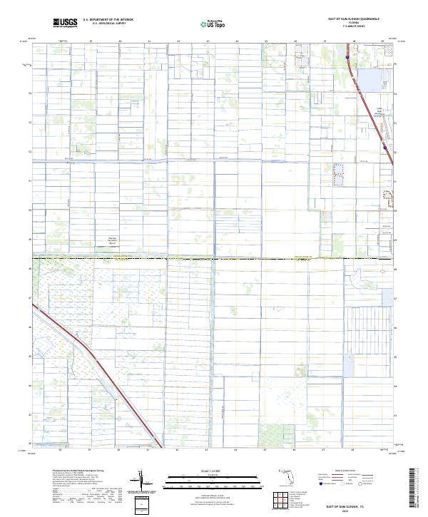
2024 East of Gum Slough
Indian River County, FL
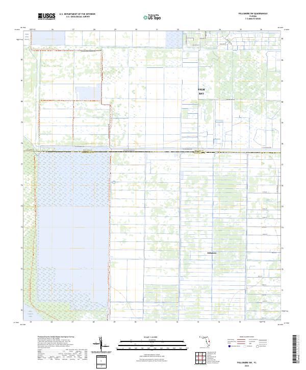
2024 Fellsmere SW
Indian River County, FL
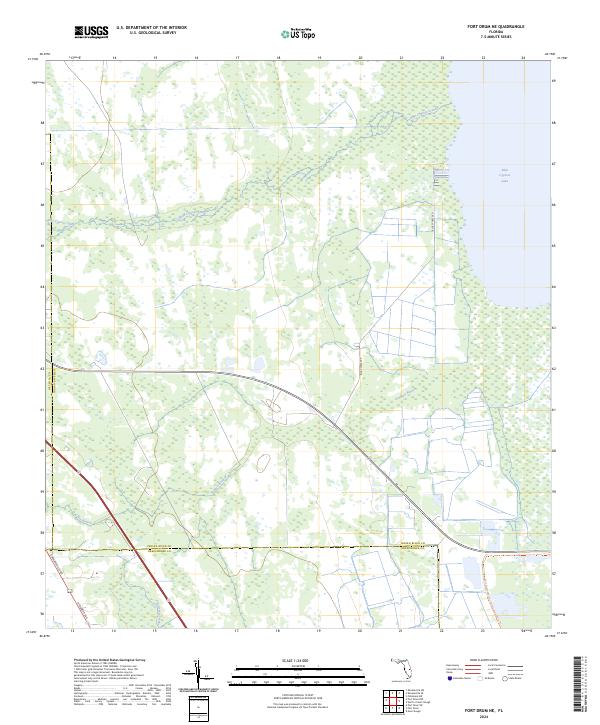
2024 Fort Drum NE
Indian River County, FL
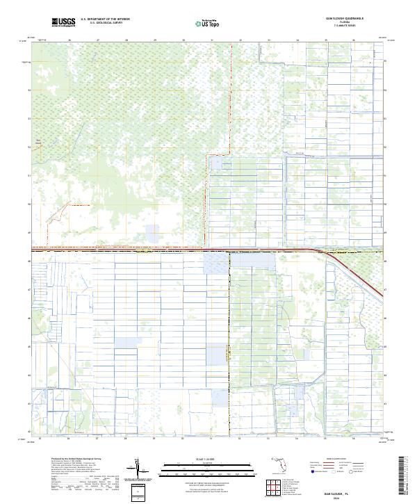
2024 Gum Slough
Indian River County, FL
2024 Kenansville SE
Indian River County, FL
2024 North of Gum Slough
Indian River County, FL
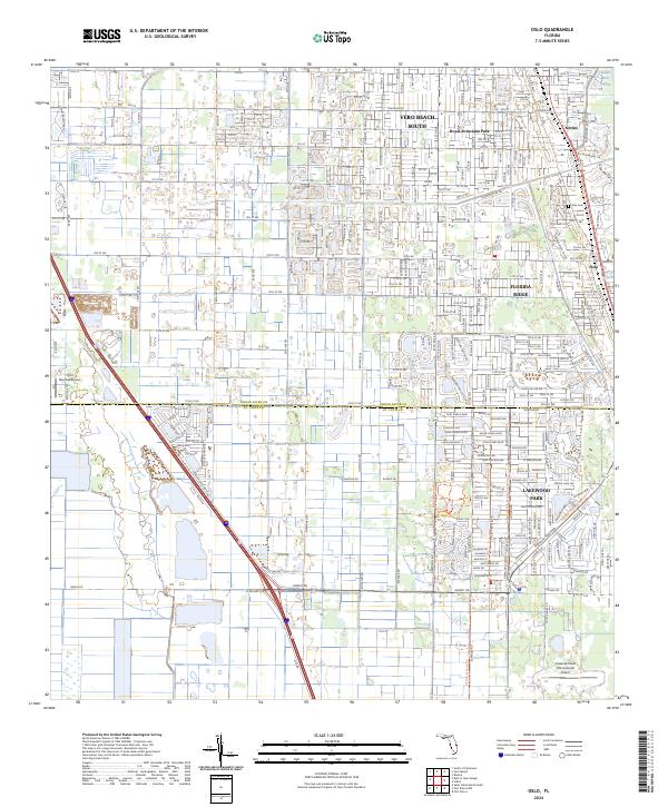
2024 Oslo
Indian River County, FL
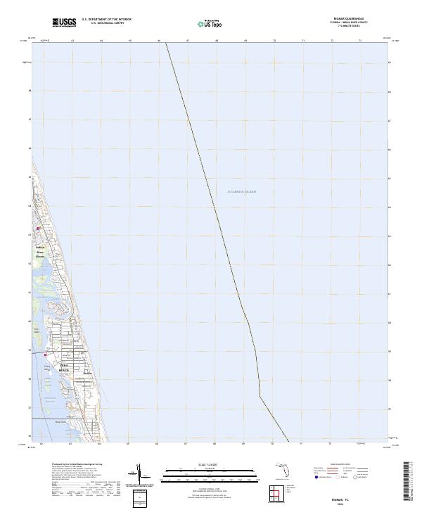
2024 Riomar
Indian River County, FL
2024 South of Fellsmere
Indian River County, FL