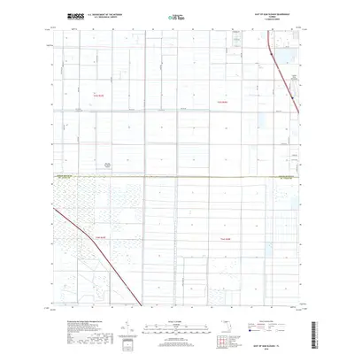
2018 Map of East of Gum Slough
USGS Topo · Published 2018About this map
Agricultural development and aviation infrastructure define this portion of the Florida coast at the boundary between Indian River Co and St. Lucie Co. The landscape is organized by a rigid grid of drainage canals and rural corridors, including the notably named Minute Maid Rd. Two private flight facilities, Wee Bee Sky Ranch Airport and the Indian River Aerodrome, serve this sparsely populated region. The presence of aviation-themed street names like Sopwith Dr suggests a community identity tied to these local airfields. While residential clusters appear in the north near W Verona Cir and E Villa Cir, much of the southern area remains characterized by marshland and large-scale citrus or ranching plots, as indicated by the expansive township and range divisions such as t34s r37e.
Find a feature on this map
31 named features on this map. Tap any name to fly to it.
Don’t see what you’re looking for? This feature index may not catch every label — zoom into the map to look around manually.
Map Details
Editions of this 2018 East of Gum Slough Map
This is the sole edition of this map. No revisions or reprints were ever made.
Other maps of this area
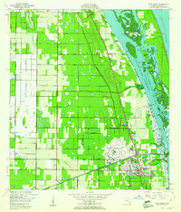
1949 · Vero Beach
USGS Topo · 1:24,000
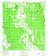
1949 · Oslo
USGS Topo · 1:24,000
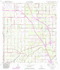
1949 · Fort Pierce NW
USGS Topo · 1:24,000
1950 · Fort Pierce NW
USGS Topo · 1:24,000
1950 · Oslo
USGS Topo · 1:24,000
1950 · Vero Beach
USGS Topo · 1:24,000
1953 · Fellsmere 4 SE
USGS Topo · 1:24,000
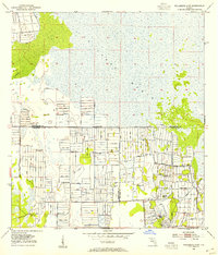
1953 · Fellsmere 4 SW
USGS Topo · 1:24,000
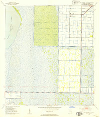
1953 · Fellsmere 4 NW
USGS Topo · 1:24,000
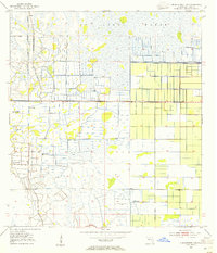
1953 · Okeechobee 1 NE
USGS Topo · 1:24,000