
1953 Map of Fellsmere 4 SW
USGS Topo · Published 1954About this map
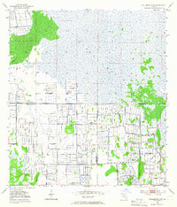
St Johns Marsh dominates this landscape, showing the mid-century transition from wild Florida wetlands to a managed agricultural system. The survey reveals a complex grid of water control, defined by an extensive network of Levee and Spoil Bank structures that carve the marsh into functional parcels. These engineering features represent the massive mid-century efforts to reclaim land along the tri-county boundary where Indian River, Okeechobee, and St Lucie counties meet. While much of the area is given over to these systematic drainage patterns, natural features like Sick Island and the meandering Gum Slough persist. Multiple locations marked as Flowing Well indicate the reliance on artesian water sources to support the evolving land use in this transitional environment.
Find a feature on this map
9 named features on this map. Tap any name to fly to it.
Don’t see what you’re looking for? This feature index may not catch every label — zoom into the map to look around manually.
Map Details
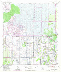
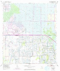
Editions of this 1953 Fellsmere 4 SW Map
4 editions found
Other maps of this area

1953 · Fort Drum
USGS Topo · 1:24,000

1953 · Fellsmere 4 SE
USGS Topo · 1:24,000

1953 · Fort Drum NE
USGS Topo · 1:24,000

1953 · Fellsmere 4 NW
USGS Topo · 1:24,000

1953 · Taylor Creek NE
USGS Topo · 1:24,000

1953 · Okeechobee 1 NE
USGS Topo · 1:24,000

1953 · Okeechobee 1 NW
USGS Topo · 1:24,000
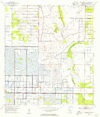
1953 · Fellsmere 4 NE
USGS Topo · 1:24,000

1956 · Fort Pierce
USGS Topo · 1:250,000

1958 · Fort Pierce
USGS Topo · 1:250,000