
1953 Map of Okeechobee 1 NW
USGS Topo · Published 1955About this map
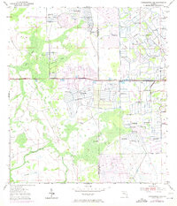
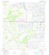
Water management and drainage infrastructure dominate this mid-century landscape along the Okeechobee Co St Lucie Co line. Extensive networks of an unnamed Levee and numerous Spoil Bank features indicate a period of intensive land reclamation and agricultural preparation within the Florida interior. These artificial structures bisect the natural flow of Gomez Creek and Cowbone Creek, illustrating the era's engineering efforts to control the local hydrology.
Find a feature on this map
8 named features on this map. Tap any name to fly to it.
Don’t see what you’re looking for? This feature index may not catch every label — zoom into the map to look around manually.
Map Details
Editions of this 1953 Okeechobee 1 NW Map
3 editions found
Other maps of this area

1953 · Okeechobee 1 SE
USGS Topo · 1:24,000

1953 · Fort Drum
USGS Topo · 1:24,000

1953 · Fellsmere 4 SE
USGS Topo · 1:24,000

1953 · Fellsmere 4 SW
USGS Topo · 1:24,000

1953 · Okeechobee 1 SW
USGS Topo · 1:24,000

1953 · Taylor Creek SE
USGS Topo · 1:24,000

1953 · Taylor Creek NE
USGS Topo · 1:24,000

1953 · Okeechobee 1 NE
USGS Topo · 1:24,000

1956 · Fort Pierce
USGS Topo · 1:250,000

1958 · Fort Pierce
USGS Topo · 1:250,000