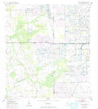
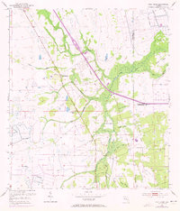
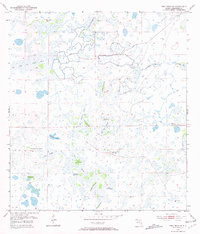
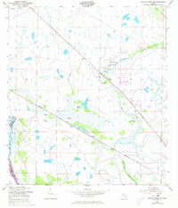
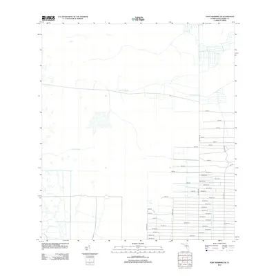
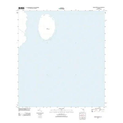
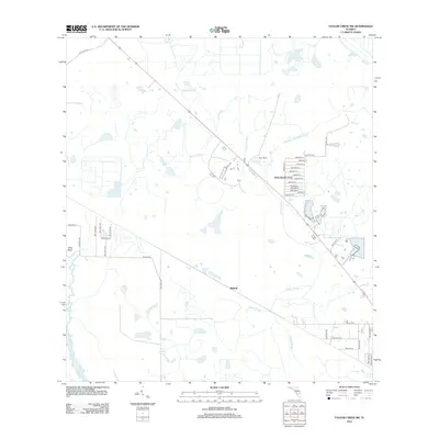
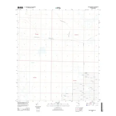
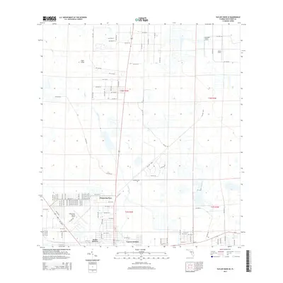
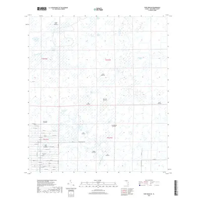
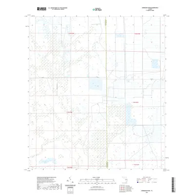
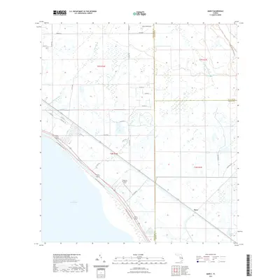
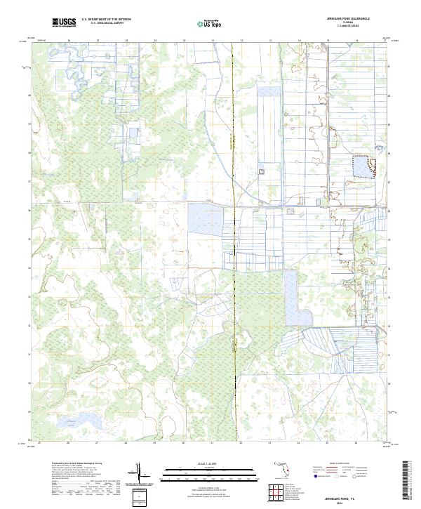
1953 Map of Jernigans Pond
USGS Topo · Published 1993About this map
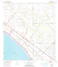
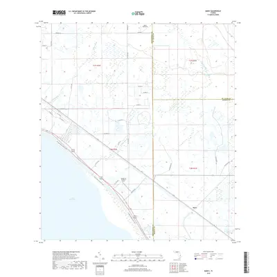
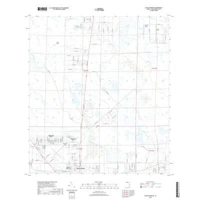
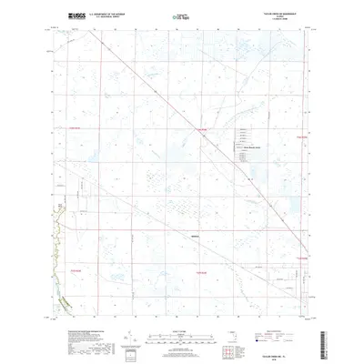
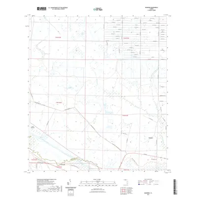
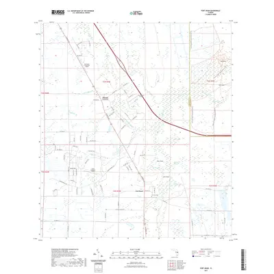
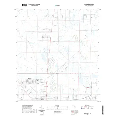
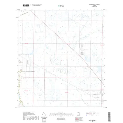
The border of Okeechobee and St. Lucie Counties defines this landscape of central Florida, where water management and agriculture are primary drivers of land use. In the early 1950s, the terrain was heavily influenced by the construction of a massive network of Levee systems and numerous Spoil Banks, suggesting a concerted effort to control the local hydrology for cattle ranching or citrus farming. The presence of multiple locations marked as Flowing Well points to the area's reliance on artesian water sources.
Find a feature on this map
8 named features on this map. Tap any name to fly to it.
Don’t see what you’re looking for? This feature index may not catch every label — zoom into the map to look around manually.
Map Details
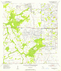
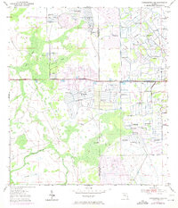
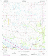
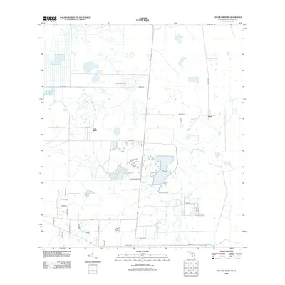
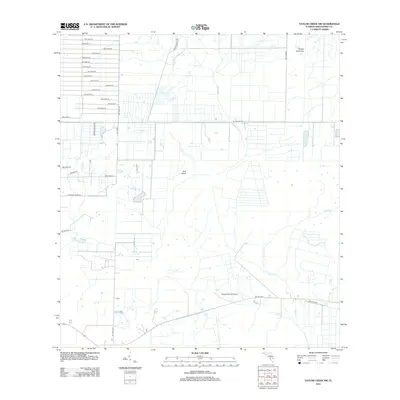
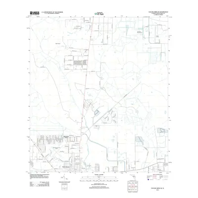
Editions of this 1953 Jernigans Pond Map
3 editions found
Historical Maps of Saint Lucie County Through Time
72 maps found
1953 Basinger
Okeechobee County, FL
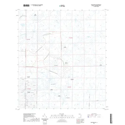
1953 Fort Drum
Okeechobee County, FL
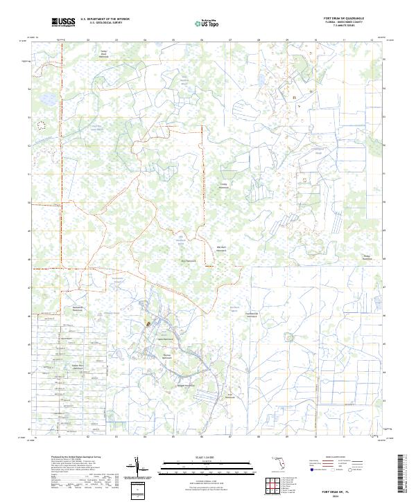
1953 Fort Drum SW
Okeechobee County, FL
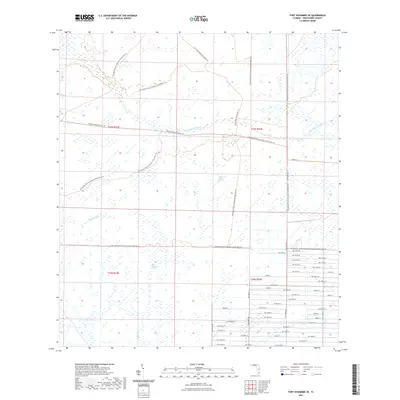
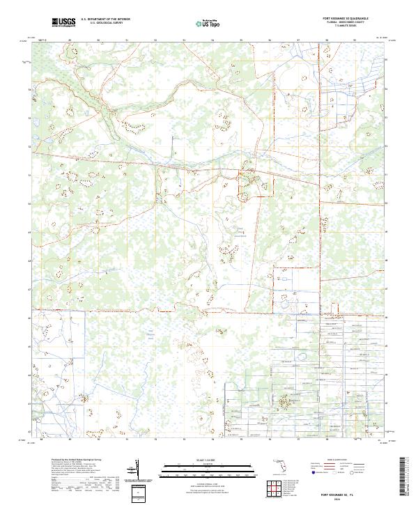
1953 Fort Kissimmee SE
Okeechobee County, FL
1953 Jernigans Pond
Okeechobee County, FL
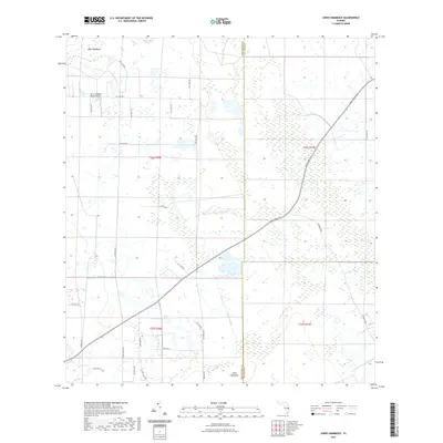
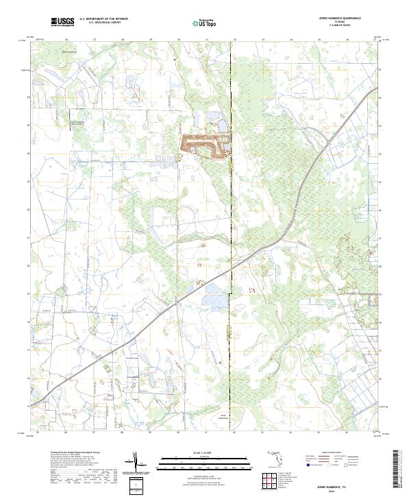
1953 Jones Hammock
Okeechobee County, FL
1953 Marcy
Okeechobee County, FL
1953 Taylor Creek NE
Okeechobee County, FL
1953 Taylor Creek NW
Okeechobee County, FL
1953 Taylor Creek SE
Okeechobee County, FL
1953 Taylor Creek SW
Okeechobee County, FL
1971 Okeechobee SE
Okeechobee County, FL
2012 Basinger
Okeechobee County, FL

2012 Fort Drum
Okeechobee County, FL
2012 Fort Drum SW
Okeechobee County, FL
2012 Fort Kissimmee SE
Okeechobee County, FL
2012 Jernigans Pond
Okeechobee County, FL
2012 Jones Hammock
Okeechobee County, FL
2012 Marcy
Okeechobee County, FL
2012 Okeechobee SE
Okeechobee County, FL
2012 Taylor Creek NE
Okeechobee County, FL
2012 Taylor Creek NW
Okeechobee County, FL
2012 Taylor Creek SE
Okeechobee County, FL
2012 Taylor Creek SW
Okeechobee County, FL
2015 Basinger
Okeechobee County, FL
2015 Fort Drum
Okeechobee County, FL
2015 Fort Drum SW
Okeechobee County, FL
2015 Fort Kissimmee SE
Okeechobee County, FL

2015 Jernigans Pond
Okeechobee County, FL
2015 Jones Hammock
Okeechobee County, FL

2015 Marcy
Okeechobee County, FL

2015 Okeechobee SE
Okeechobee County, FL
2015 Taylor Creek NE
Okeechobee County, FL
2015 Taylor Creek NW
Okeechobee County, FL
2015 Taylor Creek SE
Okeechobee County, FL
2015 Taylor Creek SW
Okeechobee County, FL
2018 Basinger
Okeechobee County, FL
2018 Fort Drum
Okeechobee County, FL
2018 Fort Drum SW
Okeechobee County, FL
2018 Fort Kissimmee SE
Okeechobee County, FL
2018 Jernigans Pond
Okeechobee County, FL
2018 Jones Hammock
Okeechobee County, FL
2018 Marcy
Okeechobee County, FL
2018 Okeechobee SE
Okeechobee County, FL
2018 Taylor Creek NE
Okeechobee County, FL
2018 Taylor Creek NW
Okeechobee County, FL
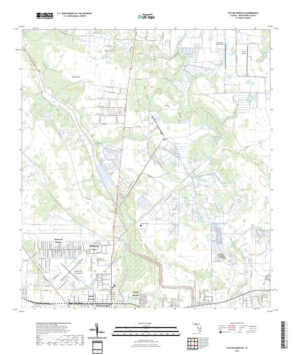
2018 Taylor Creek SE
Okeechobee County, FL
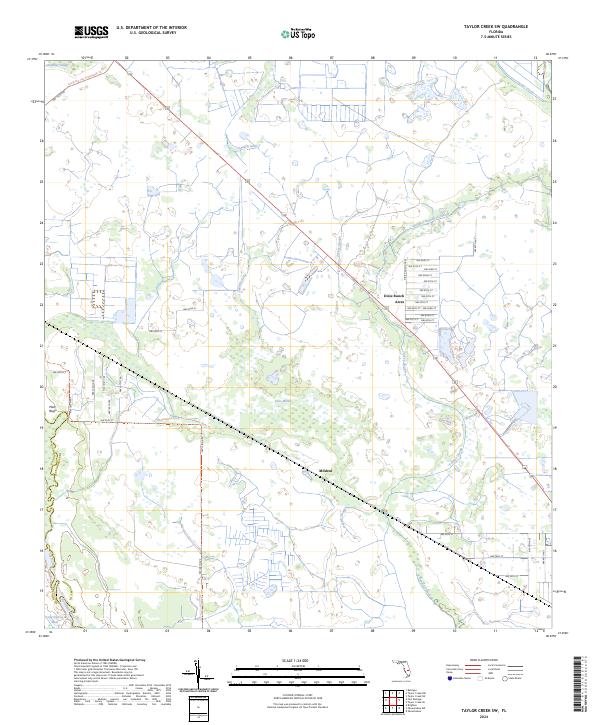
2018 Taylor Creek SW
Okeechobee County, FL
2021 Basinger
Okeechobee County, FL
2021 Fort Drum
Okeechobee County, FL
2021 Fort Drum SW
Okeechobee County, FL
2021 Fort Kissimmee SE
Okeechobee County, FL
2021 Jernigans Pond
Okeechobee County, FL
2021 Jones Hammock
Okeechobee County, FL
2021 Marcy
Okeechobee County, FL
2021 Okeechobee SE
Okeechobee County, FL
2021 Taylor Creek NE
Okeechobee County, FL
2021 Taylor Creek NW
Okeechobee County, FL
2021 Taylor Creek SE
Okeechobee County, FL
2021 Taylor Creek SW
Okeechobee County, FL
2024 Basinger
Okeechobee County, FL
2024 Fort Drum
Okeechobee County, FL
2024 Fort Drum SW
Okeechobee County, FL
2024 Fort Kissimmee SE
Okeechobee County, FL
2024 Jernigans Pond
Okeechobee County, FL
2024 Jones Hammock
Okeechobee County, FL
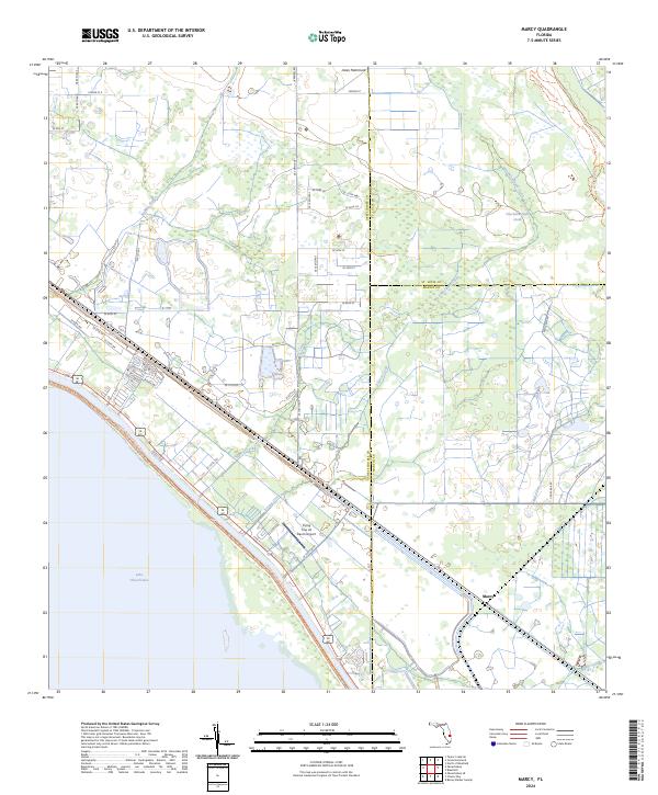
2024 Marcy
Okeechobee County, FL
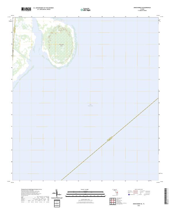
2024 Okeechobee SE
Okeechobee County, FL
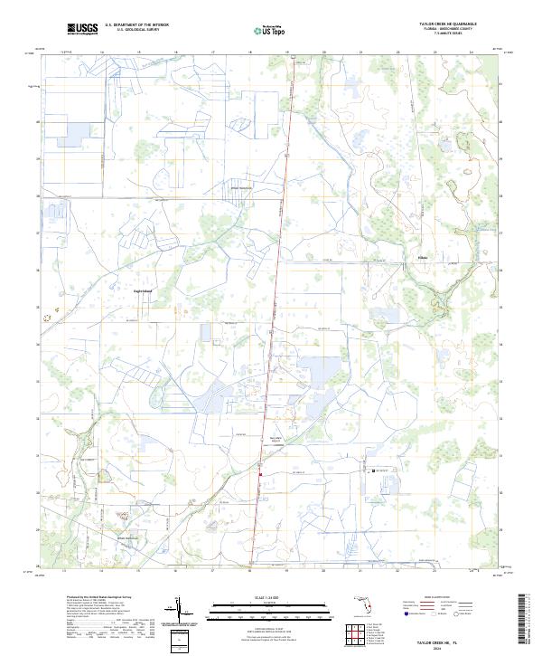
2024 Taylor Creek NE
Okeechobee County, FL
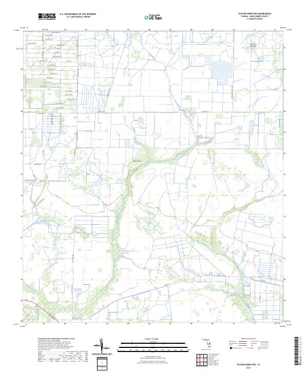
2024 Taylor Creek NW
Okeechobee County, FL
2024 Taylor Creek SE
Okeechobee County, FL
2024 Taylor Creek SW
Okeechobee County, FL