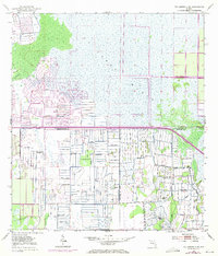
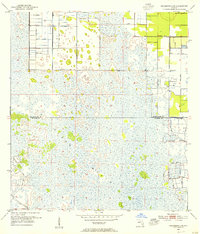
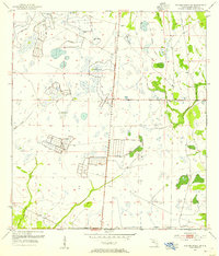
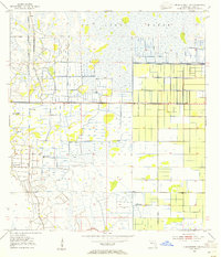
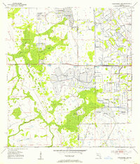
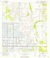
1953 Map of Fellsmere 4 SW
USGS Topo · Published 1970About this map
St Johns Marsh dominates this mid-century landscape where the borderlands of Indian River, St. Lucie, and Okeechobee counties meet. The environment is defined by extensive water management and reclamation efforts, evident in the labyrinth of Levee systems and numerous Spoil Bank features that segment the terrain. Small natural landmarks like Sick Island and drainage features like Gum Slough contrast with the engineered agricultural and transit developments of the era.
Find a feature on this map
10 named features on this map. Tap any name to fly to it.
Don’t see what you’re looking for? This feature index may not catch every label — zoom into the map to look around manually.
Map Details
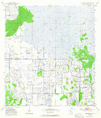
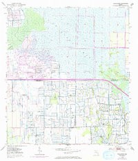
Editions of this 1953 Fellsmere 4 SW Map
4 editions found
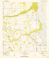
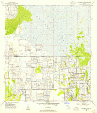
Other maps of this area
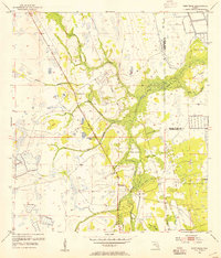
1953 · Fort Drum
USGS Topo · 1:24,000
1953 · Fellsmere 4 SE
USGS Topo · 1:24,000
1953 · Fort Drum NE
USGS Topo · 1:24,000
1953 · Fellsmere 4 SW
USGS Topo · 1:24,000
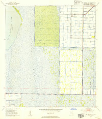
1953 · Fellsmere 4 NW
USGS Topo · 1:24,000
1953 · Taylor Creek NE
USGS Topo · 1:24,000
1953 · Okeechobee 1 NE
USGS Topo · 1:24,000
1953 · Okeechobee 1 NW
USGS Topo · 1:24,000
1953 · Fellsmere 4 NE
USGS Topo · 1:24,000

1956 · Fort Pierce
USGS Topo · 1:250,000