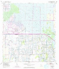
1953 Map of Gum Slough
USGS Topo · Published 1993About this map
St Johns Marsh dominates this landscape at the juncture of Indian River, Okeechobee, and St. Lucie counties. The map captures a period of intensive hydrological modification, characterized by an extensive network of levees and Spoil Banks that segment the wetlands. This drainage infrastructure transformed the region, allowing for specialized land use where Flowing Wells dot the surveyed parcels south of the main marsh.
Find a feature on this map
9 named features on this map. Tap any name to fly to it.
Don’t see what you’re looking for? This feature index may not catch every label — zoom into the map to look around manually.
Map Details
Editions of this 1953 Gum Slough Map
4 editions found
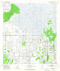
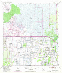
Other maps of this area

1953 · Fort Drum
USGS Topo · 1:24,000

1953 · Fellsmere 4 SE
USGS Topo · 1:24,000

1953 · Fort Drum NE
USGS Topo · 1:24,000

1953 · Fellsmere 4 SW
USGS Topo · 1:24,000

1953 · Fellsmere 4 NW
USGS Topo · 1:24,000

1953 · Taylor Creek NE
USGS Topo · 1:24,000

1953 · Okeechobee 1 NE
USGS Topo · 1:24,000

1953 · Okeechobee 1 NW
USGS Topo · 1:24,000
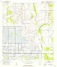
1953 · Fellsmere 4 NE
USGS Topo · 1:24,000

1956 · Fort Pierce
USGS Topo · 1:250,000