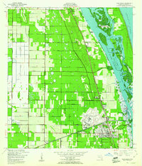
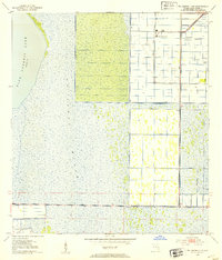
1953 Map of East of Gum Slough
USGS Topo · Published 1993About this map
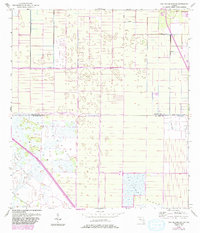
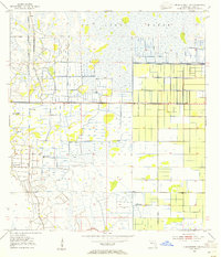
S T Johns Marsh dominates the southern landscape of this Florida interior, revealing the complex water management systems of the mid-20th century. The territory is defined by a grid of agricultural and drainage infrastructure, including an extensive system of Levees and several areas of Spoil Bank earthworks. A notable transport artery, the Floridas Sunshine State Parkway Toll Road Turnpike, cuts diagonally across the southwestern wetlands, marking the post-war expansion of the state's high-speed road network. Small-scale aviation and resource management are evidenced by a remote Landing Strip near the eastern boundary and a localized Flowing Well. This survey captures a specific era of Floridian land reclamation, where the natural marshland was being systematically partitioned for managed use along the Indian River and St Lucie county line.
Find a feature on this map
7 named features on this map. Tap any name to fly to it.
Don’t see what you’re looking for? This feature index may not catch every label — zoom into the map to look around manually.
Map Details
Editions of this 1953 East of Gum Slough Map
5 editions found
Other maps of this area
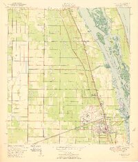
1949 · Vero Beach
USGS Topo · 1:24,000
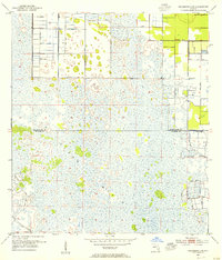
1949 · Oslo
USGS Topo · 1:24,000

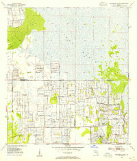
1949 · Fort Pierce NW
USGS Topo · 1:24,000
1950 · Fort Pierce NW
USGS Topo · 1:24,000
1950 · Oslo
USGS Topo · 1:24,000
1950 · Vero Beach
USGS Topo · 1:24,000
1953 · Fellsmere 4 SE
USGS Topo · 1:24,000
1953 · Fellsmere 4 SW
USGS Topo · 1:24,000
1953 · Fellsmere 4 NW
USGS Topo · 1:24,000
1953 · Okeechobee 1 NE
USGS Topo · 1:24,000