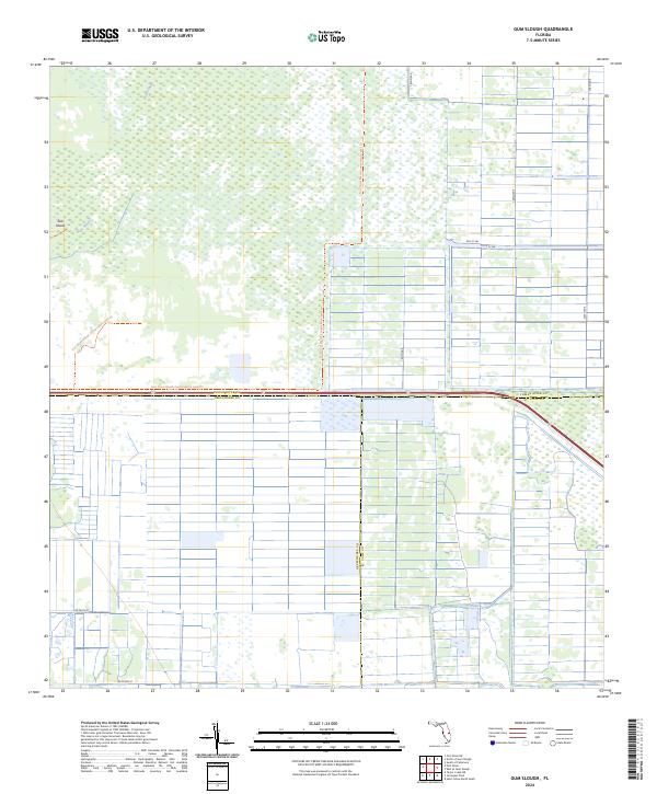
2024 Map of Gum Slough
USGS Topo · Published 2024About this map
Gum Slough and the surrounding marshlands define this interior section of Florida, where the borders of Indian River, Okeechobee, and St. Lucie counties meet. This 2024 landscape is characterized by its significant conservation tracts and expansive wetland terrain, notably the Fort Drum Marsh Conservation Area Trl which winds through the central portion of the quadrangle. The map highlights a largely undeveloped ecosystem punctuated by Sick Island, providing a clear view of the natural water drainage patterns and hydrologic features that remain preserved in this region.
Find a feature on this map
14 named features on this map. Tap any name to fly to it.
Don’t see what you’re looking for? This feature index may not catch every label — zoom into the map to look around manually.
Map Details
Editions of this 2024 Gum Slough Map
This is the sole edition of this map. No revisions or reprints were ever made.
Other maps of this area

1953 · Fort Drum
USGS Topo · 1:24,000

1953 · Fellsmere 4 SE
USGS Topo · 1:24,000

1953 · Fort Drum NE
USGS Topo · 1:24,000

1953 · Fellsmere 4 SW
USGS Topo · 1:24,000

1953 · Fellsmere 4 NW
USGS Topo · 1:24,000

1953 · Taylor Creek NE
USGS Topo · 1:24,000

1953 · Okeechobee 1 NE
USGS Topo · 1:24,000

1953 · Okeechobee 1 NW
USGS Topo · 1:24,000
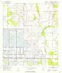
1953 · Fellsmere 4 NE
USGS Topo · 1:24,000

1956 · Fort Pierce
USGS Topo · 1:250,000