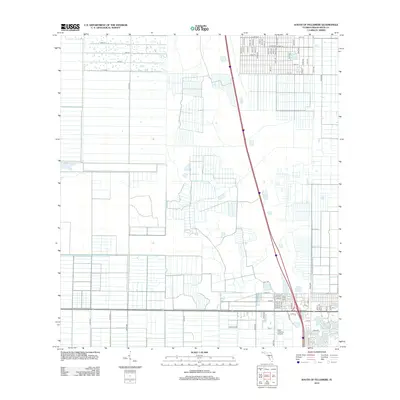
2012 Map of South of Fellsmere
USGS Topo · Published 2012About this map
New Hibiscus Airpark and a dense, rectilinear grid of residential roads define this portion of Indian River County in the early 21st century. The landscape is characterized by its transition from agricultural or undeveloped plots in the west to organized suburban blocks in the east. North-south arterials like 130th Ave and 100th Ave anchor a network of numbered streets, including 83rd St, 81st St, and 77th St. These developments show the systematic expansion of the region, where once-open Florida terrain has been subdivided into an intricate pattern of avenues and courts. The proximity of the airpark to residential corridors like 96th Ave reflects the specialized land use common in this part of the state, serving both local aviation and residential growth.
Find a feature on this map
66 named features on this map. Tap any name to fly to it.
Don’t see what you’re looking for? This feature index may not catch every label — zoom into the map to look around manually.
Map Details
Editions of this 2012 South of Fellsmere Map
This is the sole edition of this map. No revisions or reprints were ever made.
Other maps of this area

1949 · Fellsmere
USGS Topo · 1:24,000

1949 · Vero Beach
USGS Topo · 1:24,000

1949 · Sebastian
USGS Topo · 1:24,000

1949 · Oslo
USGS Topo · 1:24,000

1950 · Oslo
USGS Topo · 1:24,000

1950 · Vero Beach
USGS Topo · 1:24,000

1951 · Fellsmere
USGS Topo · 1:24,000

1951 · Sebastian
USGS Topo · 1:24,000

1953 · Fellsmere SW
USGS Topo · 1:24,000

1953 · Fellsmere 4 SE
USGS Topo · 1:24,000