
1953 Map of Deer Park
USGS Topo · Published 1954About this map
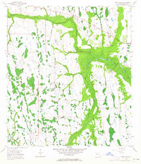
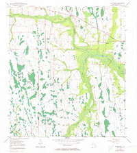
Deer Park serves as a small focal point in this 1950s survey of Osceola County, characterized by an intricate network of wetlands and seasonal drainages. The landscape is defined by the winding course of Crabgrass Creek and Bull Creek, which thread through low-lying terrain dotted with numerous small lakes and cypress heads. The 1953 plane-table surveys show a sparsely settled region where land use is concentrated near established water sources like Lake Green, Clay Lake, and Billy Lake.
Find a feature on this map
10 named features on this map. Tap any name to fly to it.
Don’t see what you’re looking for? This feature index may not catch every label — zoom into the map to look around manually.
Map Details
Editions of this 1953 Deer Park Map
5 editions found
Other maps of this area

1953 · Deer Park NE
USGS Topo · 1:24,000

1953 · Holopaw SE
USGS Topo · 1:24,000

1953 · Deer Park SE
USGS Topo · 1:24,000

1953 · Kenansville
USGS Topo · 1:24,000

1953 · Deer Park NW
USGS Topo · 1:24,000

1953 · Kenansville NE
USGS Topo · 1:24,000

1953 · Holopaw
USGS Topo · 1:24,000

1953 · Lake Marian NE
USGS Topo · 1:24,000

1955 · Orlando
USGS Topo · 1:250,000

1956 · Fort Pierce
USGS Topo · 1:250,000