
1953 Map of Deer Park NE
USGS Topo · Published 1953About this map
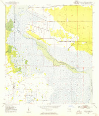
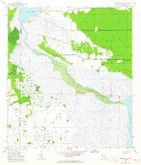
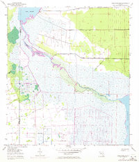
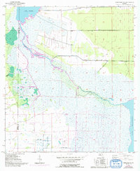
St Johns River meanders through the central basin of Florida's marshlands, defining the boundary where Osceola and Brevard counties meet. This 1953 survey, with updates from the 1970s, captures the hydrological transition between Lake Winder in the northwest and Lake Washington in the southeast. The landscape is characterized by expansive wetlands and a network of engineered water management features, including several prominent Spoil Banks and drainage channels that underscore the mid-century effort to reclaim and manage the St. Johns River floodplain. Scattered artesian wells and the winding course of Pennywash Creek provide fine-grained detail for those studying the natural drainage patterns of the region before modern development reshaped the inland corridor.
Find a feature on this map
7 named features on this map. Tap any name to fly to it.
Don’t see what you’re looking for? This feature index may not catch every label — zoom into the map to look around manually.
Map Details
Editions of this 1953 Deer Park NE Map
5 editions found
Other maps of this area

1949 · Melbourne West
USGS Topo · 1:24,000

1949 · Eau Gallie
USGS Topo · 1:24,000

1949 · Cocoa
USGS Topo · 1:24,000

1951 · Eau Gallie
USGS Topo · 1:24,000

1951 · Cocoa
USGS Topo · 1:24,000

1951 · Melbourne West
USGS Topo · 1:24,000

1953 · Lake Poinsett
USGS Topo · 1:24,000

1953 · Deer Park SE
USGS Topo · 1:24,000

1953 · Deer Park NW
USGS Topo · 1:24,000

1953 · Lake Poinsett SW
USGS Topo · 1:24,000