
1949 Map of Eau Gallie
USGS Topo · Published 1960About this map
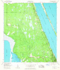
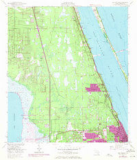
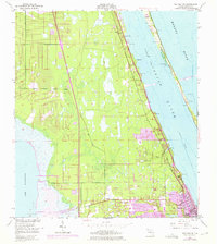
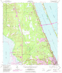
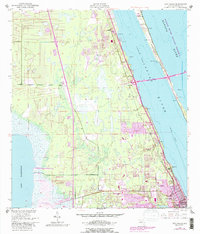
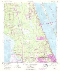
Indian River and Banana River dominate the eastern landscape of this coastal survey, where the Florida East Coast railway serves as the primary corridor for commerce and travel. The town of Eau Gallie sits at the southern edge, its development shaped by the confluence of Elbow Creek and the riverfront. Further inland, the vast expanse of Lake Washington defines the western boundary, illustrating the complex hydrology of the region before significant mid-century drainage projects altered the Florida interior. Small settlements like Pineda, Lotus, and Aurora provide focal points for local history, while Merrill Island and the Intracoastal Waterway highlight the importance of the lagoon system to the local economy. Genealogists may find particular value in the location of the Gleason Cem and the various navigation aids like the Radio Range Sta and Airway Beacon (C) that supported early aviation and maritime traffic.
Find a feature on this map
19 named features on this map. Tap any name to fly to it.
Don’t see what you’re looking for? This feature index may not catch every label — zoom into the map to look around manually.
Map Details
Editions of this 1949 Eau Gallie Map
7 editions found
Other maps of this area

1949 · Melbourne West
USGS Topo · 1:24,000

1949 · Melbourne East
USGS Topo · 1:24,000

1949 · Cocoa
USGS Topo · 1:24,000

1949 · Cocoa Beach
USGS Topo · 1:24,000

1949 · Tropic
USGS Topo · 1:24,000

1951 · Melbourne East
USGS Topo · 1:24,000

1951 · Eau Gallie
USGS Topo · 1:24,000

1951 · Cocoa
USGS Topo · 1:24,000

1951 · Melbourne West
USGS Topo · 1:24,000
1951 · Cocoa Beach
USGS Topo · 1:24,000