
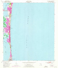
1949 Map of Cocoa Beach
USGS Topo · Published 1966About this map
Cocoa Beach occupies a narrow barrier island during the late 1940s, situated between the vast Atlantic Ocean and the intricate wetlands of the Banana River. This survey captures the town at an early stage of development, long before the massive expansion of the space program nearby. The landscape is defined by its complex hydrography, featuring the labyrinthine Thousand Islands and various coastal features such as Shell Point, Sprig Point, and the Shortys Banks.
Find a feature on this map
18 named features on this map. Tap any name to fly to it.
Don’t see what you’re looking for? This feature index may not catch every label — zoom into the map to look around manually.
Map Details
Editions of this 1949 Cocoa Beach Map
2 editions found
Other maps of this area

1949 · Courtenay
USGS Topo · 1:24,000

1949 · Eau Gallie
USGS Topo · 1:24,000

1949 · Cocoa
USGS Topo · 1:24,000

1949 · Tropic
USGS Topo · 1:24,000

1951 · Eau Gallie
USGS Topo · 1:24,000

1951 · Cocoa
USGS Topo · 1:24,000

1951 · Courtenay
USGS Topo · 1:24,000
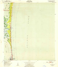
1951 · Cocoa Beach
USGS Topo · 1:24,000
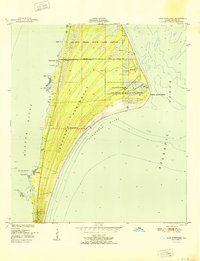
1951 · Cape Canaveral
USGS Topo · 1:24,000
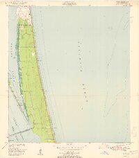
1951 · Tropic
USGS Topo · 1:24,000