Loading...
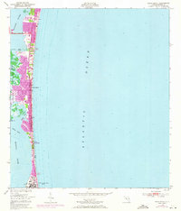
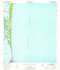
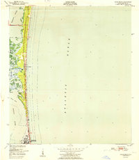
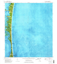
Loading map...1949 Map of Cocoa Beach
USGS Topo · Published 1971About this map
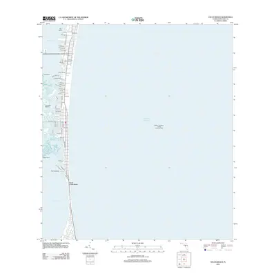
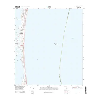
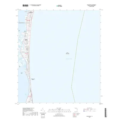
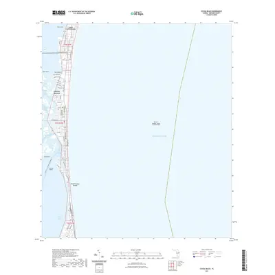
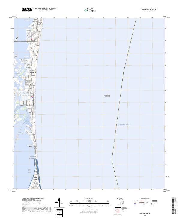
Cocoa Beach and its surrounding barrier island geography are depicted here during a transformative era of coastal development. The landscape is defined by the narrow strip of land between the Atlantic Ocean and the Banana River, where the intricate complex of the Thousand Islands creates a maze of waterways including Catfish Creek and Houseboat Creek.
Find a feature on this map
22 named features on this map. Tap any name to fly to it.
Don’t see what you’re looking for? This feature index may not catch every label — zoom into the map to look around manually.
Map Details
Date Portrayed1949
Date Published1971
PublisherU.S. Geological Survey
Map TypeTopographic
Scale1:24,000
Physical Dimensions22.9 x 26.8 inches
Editions of this 1949 Cocoa Beach Map
2 editions found
Historical Maps of Cocoa Beach Through Time
8 maps found
Featured Locations
Source Details
SourceU.S. Geological Survey
CopyrightPublic Domain