
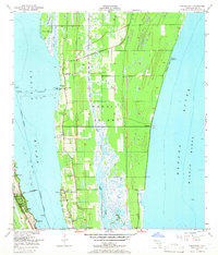
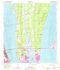
1949 Map of Courtenay
USGS Topo · Published 1960About this map
Merritt Island dominates this mid-century survey, flanked by the broad reaches of the Indian River and the Banana River. Before the massive expansion of the nearby space center, this area was a landscape of citrus groves and small riverside communities connected by the Intracoastal Waterway. Local life centered around points of interest like Courtenay and Audubon, with several established houses of worship including St Lukes Ch and Mt Zion Ch serving the island residents.
Find a feature on this map
29 named features on this map. Tap any name to fly to it.
Don’t see what you’re looking for? This feature index may not catch every label — zoom into the map to look around manually.
Map Details
Editions of this 1949 Courtenay Map
3 editions found
Other maps of this area

1949 · Orsino
USGS Topo · 1:24,000

1949 · False Cape
USGS Topo · 1:24,000

1949 · Titusville
USGS Topo · 1:24,000

1949 · Sharpes
USGS Topo · 1:24,000

1949 · Cocoa
USGS Topo · 1:24,000

1949 · Cocoa Beach
USGS Topo · 1:24,000

1951 · False Cape
USGS Topo · 1:24,000

1951 · Cocoa
USGS Topo · 1:24,000

1951 · Courtenay
USGS Topo · 1:24,000

1951 · Sharpes
USGS Topo · 1:24,000