
1949 Map of False Cape
USGS Topo · Published 1960About this map
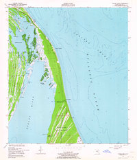
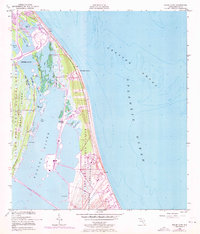
Canaveral Peninsula and the wild coastal reaches of Merritt Island are documented here just before the mid-century transformation of the Space Coast. The landscape is dominated by a complex network of wetlands and tidal cuts, including Jack Davis Cut and Tea Cr Cutoff, which separate numerous hammocks and islands like Harrison Island. At the southern edge of the survey, the De Soto Beach State Game Refuge indicates an era of conservation prior to the region's intensive federal development. Human activity is sparse, marked by the Canaveral Club near the northern boundary and the small settlement at De Soto Beach. The map provides a detailed record of the shifting shoreline from Titusville Beach down to False Cape, as well as the treacherous underwater topography of the Atlantic Ocean including the expansive Chester Shoal.
Find a feature on this map
38 named features on this map. Tap any name to fly to it.
Don’t see what you’re looking for? This feature index may not catch every label — zoom into the map to look around manually.
Map Details
Editions of this 1949 False Cape Map
3 editions found
Other maps of this area

1949 · Orsino
USGS Topo · 1:24,000

1949 · Courtenay
USGS Topo · 1:24,000

1949 · Wilson
USGS Topo · 1:24,000

1951 · False Cape
USGS Topo · 1:24,000

1951 · Courtenay
USGS Topo · 1:24,000

1951 · Orsino
USGS Topo · 1:24,000
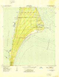
1951 · Cape Canaveral
USGS Topo · 1:24,000

1952 · Wilson
USGS Topo · 1:24,000

1955 · Orlando
USGS Topo · 1:250,000

1957 · Orlando
USGS Topo · 1:250,000