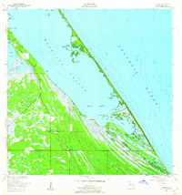
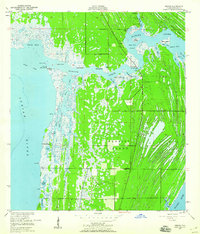
1949 Map of Wilson
USGS Topo · Published 1960About this map
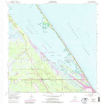
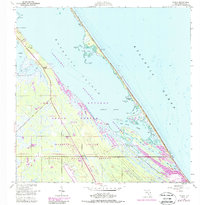
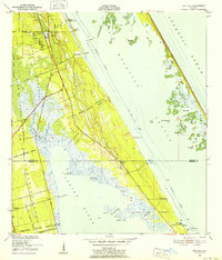
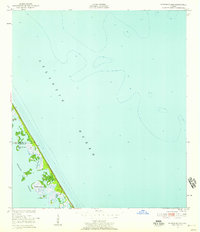
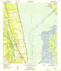
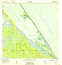
Mosquito Lagoon and the narrow barrier islands of Florida's Atlantic coast define this coastal landscape at the mid-century. This 1949 survey documents a sparsely populated shoreline before the modern space era transformed the region, centered on the small settlement of Wilson and the agricultural pocket at Dummit Grove. The complex hydrology of the area is mapped in detail, showing the Haulover Canal and the Old Canal connecting the lagoon to northern reaches. Coastal activity is primarily concentrated around fishing and local navigation, evidenced by Ragin Fish Camp and numerous shoreline landmarks like Bull Camp and the Rich Club. The barrier beach is largely undeveloped, with Klondike Beach and Playalinda Beach stretching along the ocean, while the interior is a maze of marshy features such as Max Hoeck Creek and the Middle Banks.
Find a feature on this map
35 named features on this map. Tap any name to fly to it.
Don’t see what you’re looking for? This feature index may not catch every label — zoom into the map to look around manually.
Map Details
Editions of this 1949 Wilson Map
6 editions found
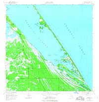
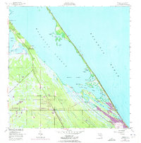
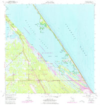
Other maps of this area
1949 · Oak Hill
USGS Topo · 1:24,000
1949 · Pardon Island
USGS Topo · 1:24,000
1949 · Orsino
USGS Topo · 1:24,000
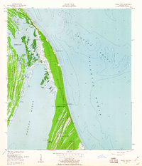
1949 · False Cape
USGS Topo · 1:24,000
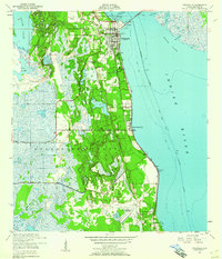
1949 · Titusville
USGS Topo · 1:24,000
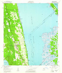
1949 · Mims
USGS Topo · 1:24,000

1951 · False Cape
USGS Topo · 1:24,000

1951 · Orsino
USGS Topo · 1:24,000
1952 · Mims
USGS Topo · 1:24,000
1952 · Wilson
USGS Topo · 1:24,000