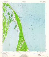
1952 Map of Wilson
USGS Topo · Published 1952About this map
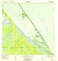
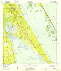
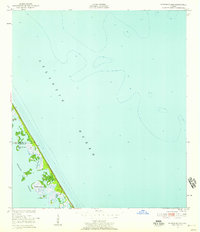
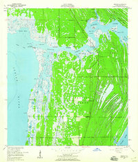
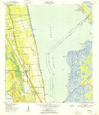
Mosquito Lagoon dominates this coastal landscape, separated from the Atlantic Ocean by a thin, feature-rich barrier island strip. Small settlements and seasonal outposts like Wilson, Ragin Fish Camp, and Bull Camp dot the shoreline and interior marshlands, reflecting a period of remote coastal living before modern development. The intricate network of waterways includes Max Hoeck Creek, Clark Slough, and Eddy Creek, which navigate the complex wetland environment of the Middle Banks.
Find a feature on this map
32 named features on this map. Tap any name to fly to it.
Don’t see what you’re looking for? This feature index may not catch every label — zoom into the map to look around manually.
Map Details
Editions of this 1952 Wilson Map
This is the sole edition of this map. No revisions or reprints were ever made.
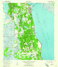
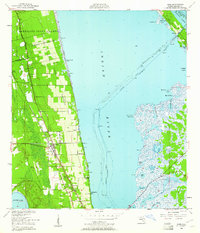
Other maps of this area
1949 · Oak Hill
USGS Topo · 1:24,000
1949 · Pardon Island
USGS Topo · 1:24,000
1949 · Orsino
USGS Topo · 1:24,000
1949 · False Cape
USGS Topo · 1:24,000
1949 · Titusville
USGS Topo · 1:24,000
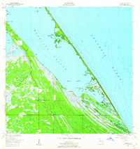
1949 · Wilson
USGS Topo · 1:24,000
1949 · Mims
USGS Topo · 1:24,000

1951 · False Cape
USGS Topo · 1:24,000

1951 · Orsino
USGS Topo · 1:24,000
1952 · Mims
USGS Topo · 1:24,000