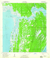
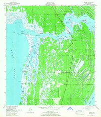
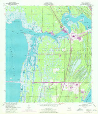
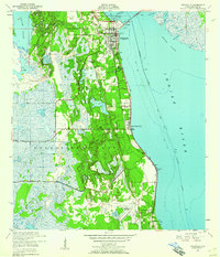
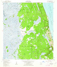
1949 Map of Orsino
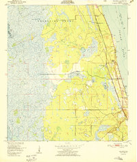
USGS Topo · Published 1960About this map
Merritt Island is defined by an intricate network of marshes, lagoons, and narrow waterways just prior to the mid-century transformation of this coastline. The small community of Orsino sits at the heart of this landscape, flanked by the broad Indian River to the west and the meandering Banana Creek to the east. The map captures a largely undeveloped era where local life centered on landings and fish camps, such as Hubs Landing and the descriptive Banana Creek Fish Camp Humpback Bridge.
Find a feature on this map
43 named features on this map. Tap any name to fly to it.
Don’t see what you’re looking for? This feature index may not catch every label — zoom into the map to look around manually.
Map Details
Editions of this 1949 Orsino Map
3 editions found
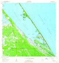
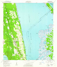
Other maps of this area
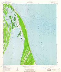
1949 · False Cape
USGS Topo · 1:24,000
1949 · Titusville
USGS Topo · 1:24,000
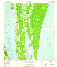
1949 · Courtenay
USGS Topo · 1:24,000
1949 · Wilson
USGS Topo · 1:24,000
1949 · Mims
USGS Topo · 1:24,000
1949 · Sharpes
USGS Topo · 1:24,000

1951 · False Cape
USGS Topo · 1:24,000

1951 · Courtenay
USGS Topo · 1:24,000
1951 · Sharpes
USGS Topo · 1:24,000

1951 · Orsino
USGS Topo · 1:24,000