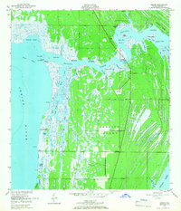
1949 Map of Orsino
USGS Topo · Published 1966About this map
Merritt Island is defined by a intricate network of lagoons and wetlands in the late 1940s, captured before the extensive transformations of the modern space age. The small community of Orsino sits at a crossroads on the eastern side of Banana Creek, while landing sites and fish camps dot the waterways. Locations like Hubs Landing and the Banana Creek Fish Camp near Humpback Bridge speak to the local river-and-creek economy of the mid-century.
Find a feature on this map
57 named features on this map. Tap any name to fly to it.
Don’t see what you’re looking for? This feature index may not catch every label — zoom into the map to look around manually.
Map Details
Editions of this 1949 Orsino Map
3 editions found
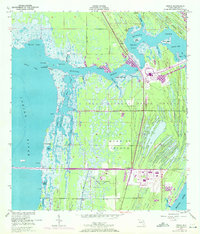
Other maps of this area

1949 · Orsino
USGS Topo · 1:24,000

1949 · False Cape
USGS Topo · 1:24,000

1949 · Titusville
USGS Topo · 1:24,000

1949 · Courtenay
USGS Topo · 1:24,000

1949 · Wilson
USGS Topo · 1:24,000

1949 · Mims
USGS Topo · 1:24,000

1949 · Sharpes
USGS Topo · 1:24,000

1951 · False Cape
USGS Topo · 1:24,000

1951 · Courtenay
USGS Topo · 1:24,000

1951 · Sharpes
USGS Topo · 1:24,000