
1949 Map of Titusville
USGS Topo · Published 1960About this map
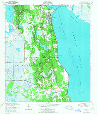
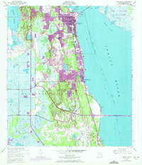
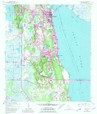
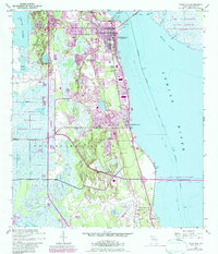
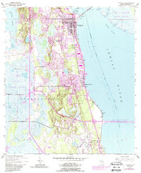
Titusville and its surrounding wetlands occupy a critical stretch of the Florida coast at the close of the 1940s. The town, centered near the Yacht Basin and Sand Pt, is anchored by the Florida East Coast railroad and the Intracoastal Waterway, which define the region's transport and trade. To the south, Indian River City and the smaller settlement of Bellwood sit along the riverbanks, while the vast Delespine Grant encompasses a mosaic of marshes and islands. Aviation's growing footprint is evident with the Titusville Airport and the large Titusville Cocoa Airport near Burns Hammock. The map details local infrastructure from the Titusville High Sch to the County Farm, alongside emerging recreational areas like Whispering Hills Golf Estates, providing a record of the community just before the rapid expansion of the Space Age.
Find a feature on this map
31 named features on this map. Tap any name to fly to it.
Don’t see what you’re looking for? This feature index may not catch every label — zoom into the map to look around manually.
Map Details
Editions of this 1949 Titusville Map
6 editions found
Other maps of this area

1949 · Orsino
USGS Topo · 1:24,000

1949 · Courtenay
USGS Topo · 1:24,000

1949 · Wilson
USGS Topo · 1:24,000

1949 · Mims
USGS Topo · 1:24,000

1949 · Sharpes
USGS Topo · 1:24,000

1950 · Aurantia
USGS Topo · 1:24,000

1951 · Courtenay
USGS Topo · 1:24,000

1951 · Sharpes
USGS Topo · 1:24,000

1951 · Orsino
USGS Topo · 1:24,000

1952 · Mims
USGS Topo · 1:24,000
Featured Places
- Titusville, FL
- Whispering Hills Golf Estates, Titusville
- Indian River City, Titusville
- South Titusville, FL
- Bellwood, FL