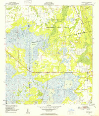
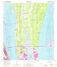
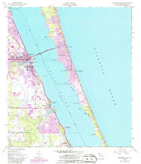
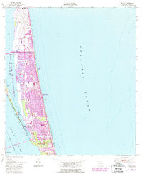
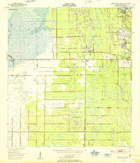
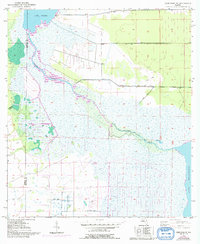
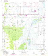
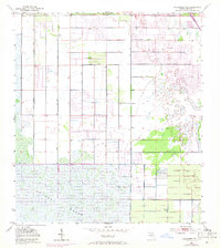
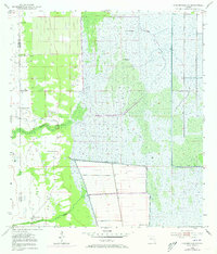
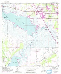
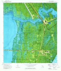
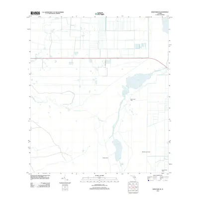
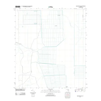
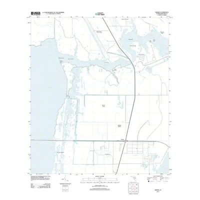
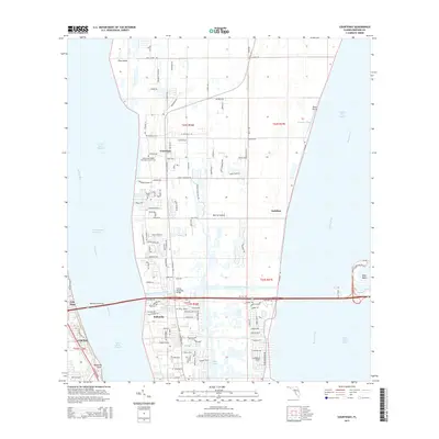
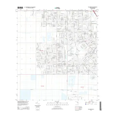
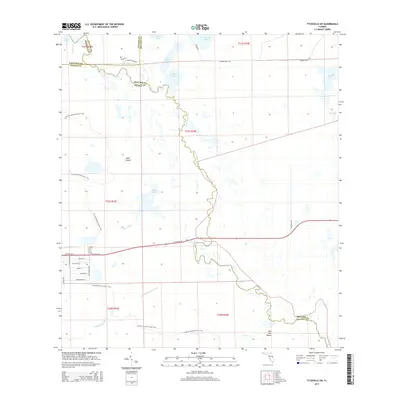
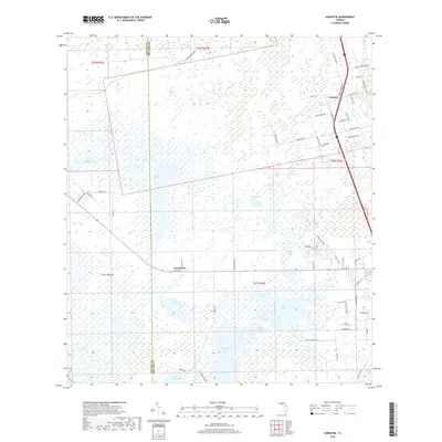
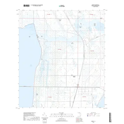
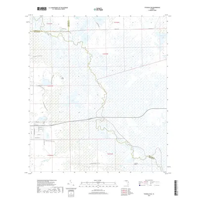
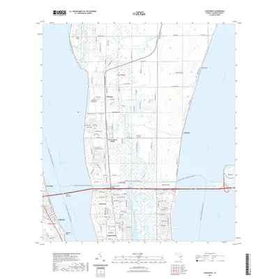
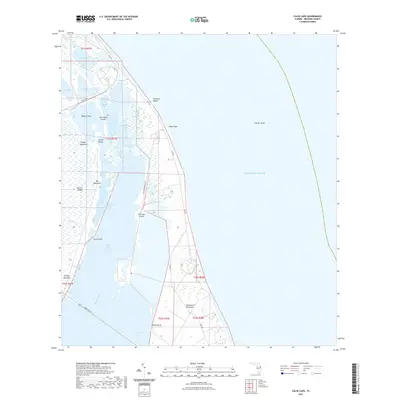
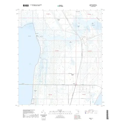
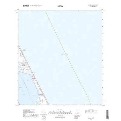
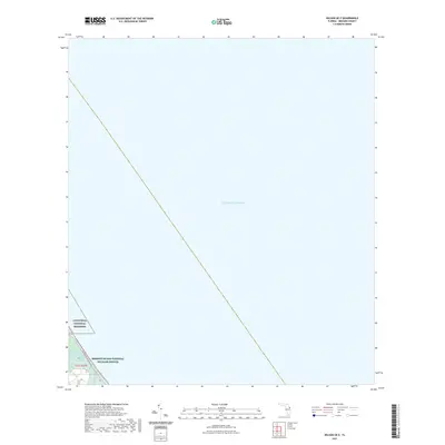
1950 Map of Aurantia
USGS Topo · Published 1952About this map
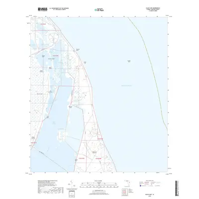
Bernardo Segui Grant and other Spanish land grants define the ownership patterns of this mid-century Florida landscape, where the Florida East Coast railway cuts through the eastern wetlands. Small settlements like Aurantia and Southmere appear as quiet outposts amidst a vast network of water bodies, including the expansive Salt Lake and Buck Lake. The map details a transition from the structured lines of Burkholm Road to the protected wilderness of the Brevard County Game Refuge.
Find a feature on this map
27 named features on this map. Tap any name to fly to it.
Don’t see what you’re looking for? This feature index may not catch every label — zoom into the map to look around manually.
Map Details
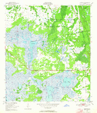
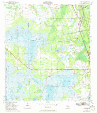
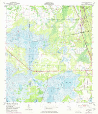
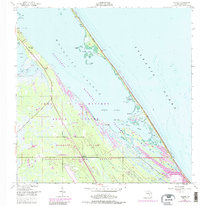
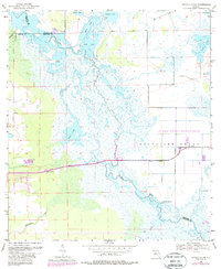
Editions of this 1950 Aurantia Map
5 editions found
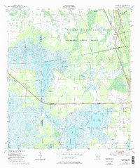
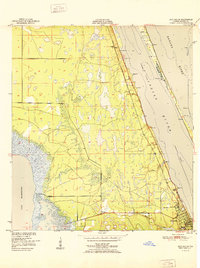
Historical Maps of Aurantia Through Time
120 maps found
1949 Courtenay
Brevard County, FL
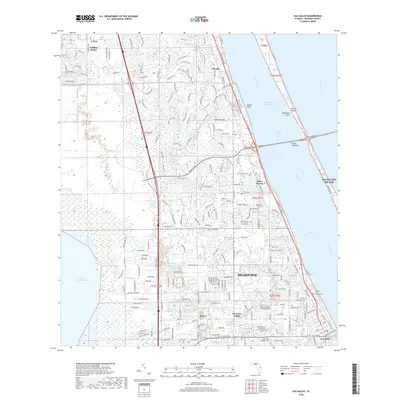
1949 Eau Gallie
Brevard County, FL
1949 False Cape
Brevard County, FL
1949 Grant
Brevard County, FL
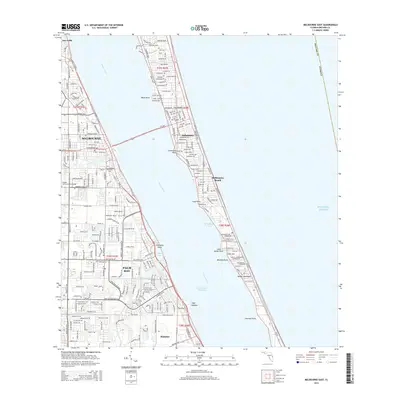
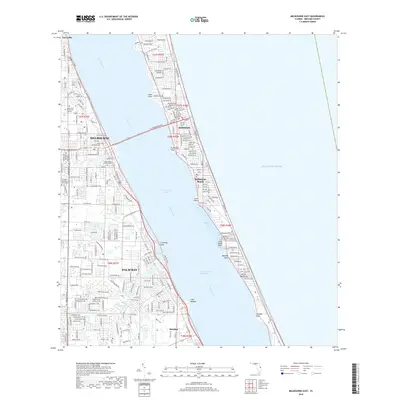
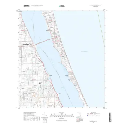
1949 Melbourne East
Brevard County, FL
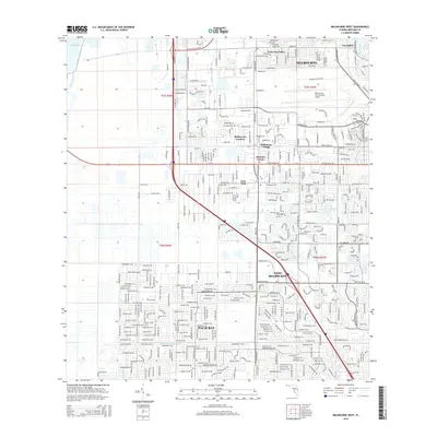
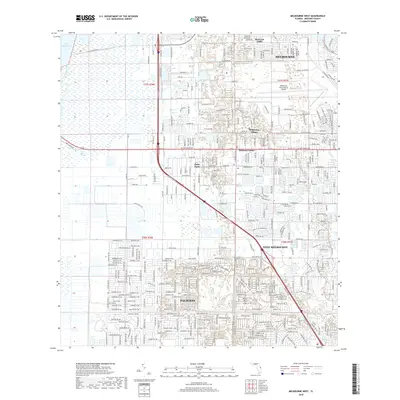
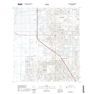
1949 Melbourne West
Brevard County, FL
1949 Orsino
Brevard County, FL
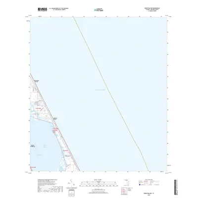
1949 Sebastian NW
Brevard County, FL
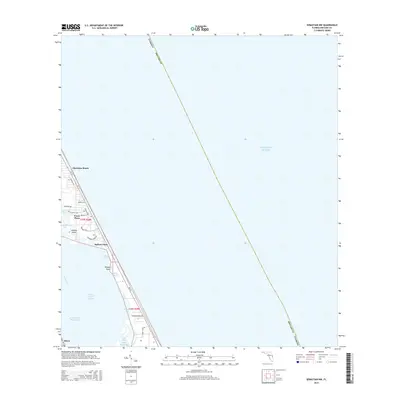
1949 Tropic
Brevard County, FL
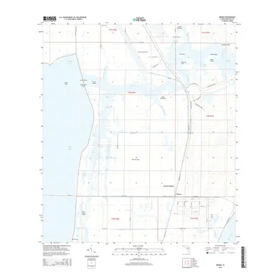
1949 Wilson
Brevard County, FL
1950 Aurantia
Brevard County, FL

1951 Courtenay
Brevard County, FL
1951 Eau Gallie
Brevard County, FL

1951 False Cape
Brevard County, FL

1951 Grant
Brevard County, FL

1951 Melbourne East
Brevard County, FL
1951 Melbourne West
Brevard County, FL

1951 Orsino
Brevard County, FL
1951 Sebastian NW
Brevard County, FL
1951 Tropic
Brevard County, FL
1952 Wilson
Brevard County, FL
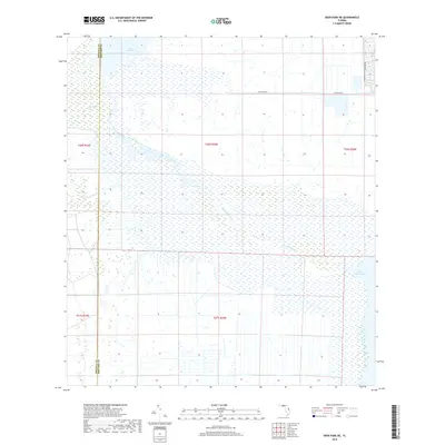
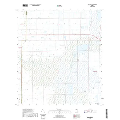
1953 Deer Park NE
Brevard County, FL
1953 Deer Park SE
Brevard County, FL
1953 Fellsmere NW
Brevard County, FL
1953 Kenansville NE
Brevard County, FL
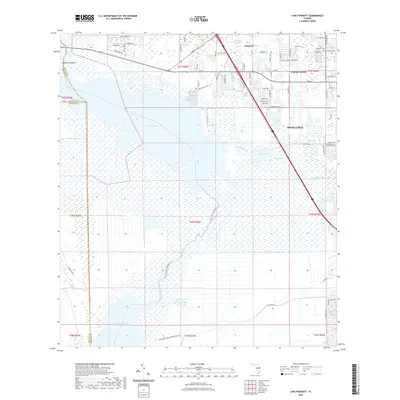
1953 Lake Poinsett
Brevard County, FL
1953 Titusville SW
Brevard County, FL
1976 Courtenay
Brevard County, FL
1976 False Cape
Brevard County, FL
1976 Orsino
Brevard County, FL
2012 Aurantia
Brevard County, FL
2012 Courtenay
Brevard County, FL
2012 Deer Park NE
Brevard County, FL
2012 Deer Park SE
Brevard County, FL
2012 Eau Gallie
Brevard County, FL
2012 False Cape
Brevard County, FL
2012 Fellsmere NW
Brevard County, FL

2012 Grant
Brevard County, FL
2012 Kenansville NE
Brevard County, FL
2012 Lake Poinsett
Brevard County, FL
2012 Melbourne East
Brevard County, FL
2012 Melbourne West
Brevard County, FL
2012 Orsino
Brevard County, FL
2012 Sebastian NW
Brevard County, FL
2012 Titusville SW
Brevard County, FL

2012 Tropic
Brevard County, FL

2012 Wilson
Brevard County, FL

2012 Wilson OE E
Brevard County, FL
2015 Aurantia
Brevard County, FL
2015 Courtenay
Brevard County, FL
2015 Deer Park NE
Brevard County, FL
2015 Deer Park SE
Brevard County, FL
2015 Eau Gallie
Brevard County, FL

2015 False Cape
Brevard County, FL
2015 Fellsmere NW
Brevard County, FL
2015 Grant
Brevard County, FL
2015 Kenansville NE
Brevard County, FL
2015 Lake Poinsett
Brevard County, FL
2015 Melbourne East
Brevard County, FL
2015 Melbourne West
Brevard County, FL
2015 Orsino
Brevard County, FL
2015 Sebastian NW
Brevard County, FL
2015 Titusville SW
Brevard County, FL
2015 Tropic
Brevard County, FL
2015 Wilson
Brevard County, FL
2015 Wilson OE E
Brevard County, FL
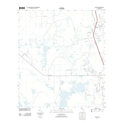
2018 Aurantia
Brevard County, FL

2018 Courtenay
Brevard County, FL
2018 Deer Park NE
Brevard County, FL
2018 Deer Park SE
Brevard County, FL
2018 Eau Gallie
Brevard County, FL
2018 False Cape
Brevard County, FL
2018 Fellsmere NW
Brevard County, FL

2018 Grant
Brevard County, FL
2018 Kenansville NE
Brevard County, FL
2018 Lake Poinsett
Brevard County, FL
2018 Melbourne East
Brevard County, FL
2018 Melbourne West
Brevard County, FL
2018 Orsino
Brevard County, FL
2018 Sebastian NW
Brevard County, FL
2018 Titusville SW
Brevard County, FL
2018 Tropic
Brevard County, FL
2018 Wilson
Brevard County, FL

2018 Wilson OE E
Brevard County, FL
2021 Aurantia
Brevard County, FL
2021 Courtenay
Brevard County, FL
2021 Deer Park NE
Brevard County, FL
2021 Deer Park SE
Brevard County, FL
2021 Eau Gallie
Brevard County, FL
2021 False Cape
Brevard County, FL
2021 Fellsmere NW
Brevard County, FL
2021 Grant
Brevard County, FL
2021 Kenansville NE
Brevard County, FL
2021 Lake Poinsett
Brevard County, FL
2021 Melbourne East
Brevard County, FL
2021 Melbourne West
Brevard County, FL
2021 Orsino
Brevard County, FL
2021 Sebastian NW
Brevard County, FL
2021 Titusville SW
Brevard County, FL
2021 Tropic
Brevard County, FL
2021 Wilson
Brevard County, FL
2021 Wilson OE E
Brevard County, FL
2024 Aurantia
Brevard County, FL
2024 Courtenay
Brevard County, FL
2024 Deer Park NE
Brevard County, FL
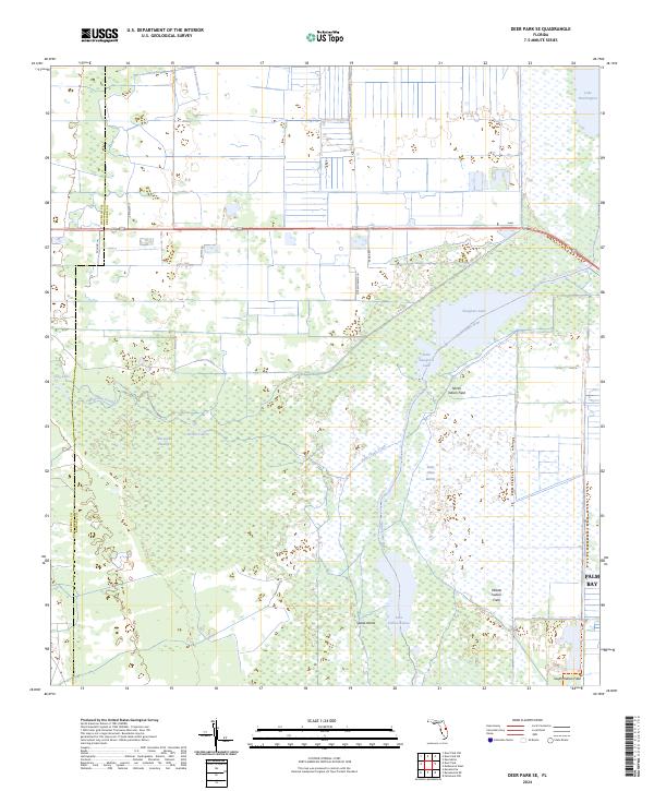
2024 Deer Park SE
Brevard County, FL
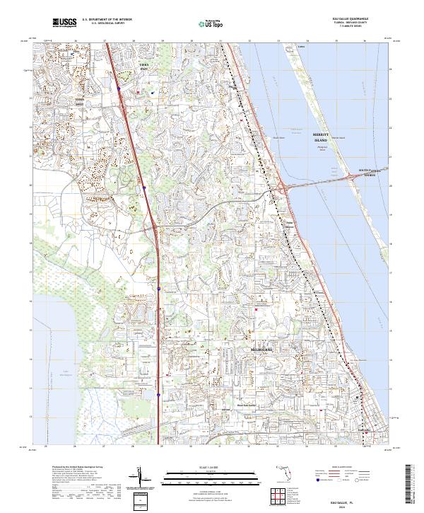
2024 Eau Gallie
Brevard County, FL
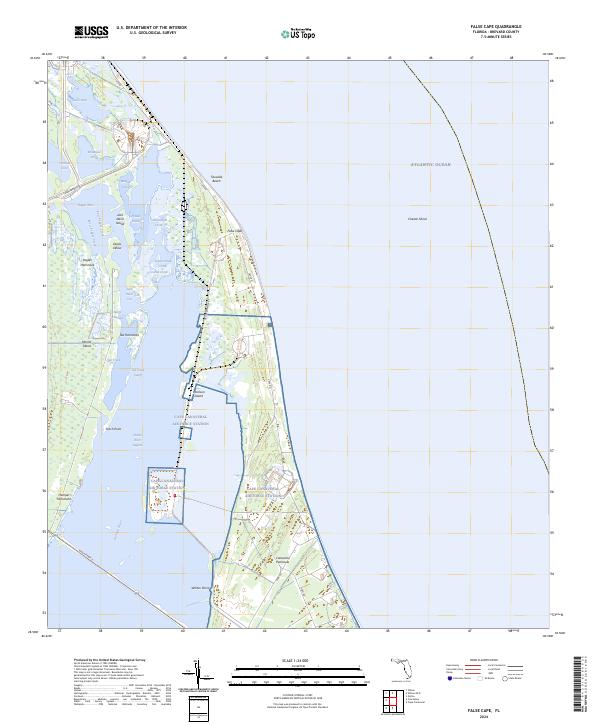
2024 False Cape
Brevard County, FL
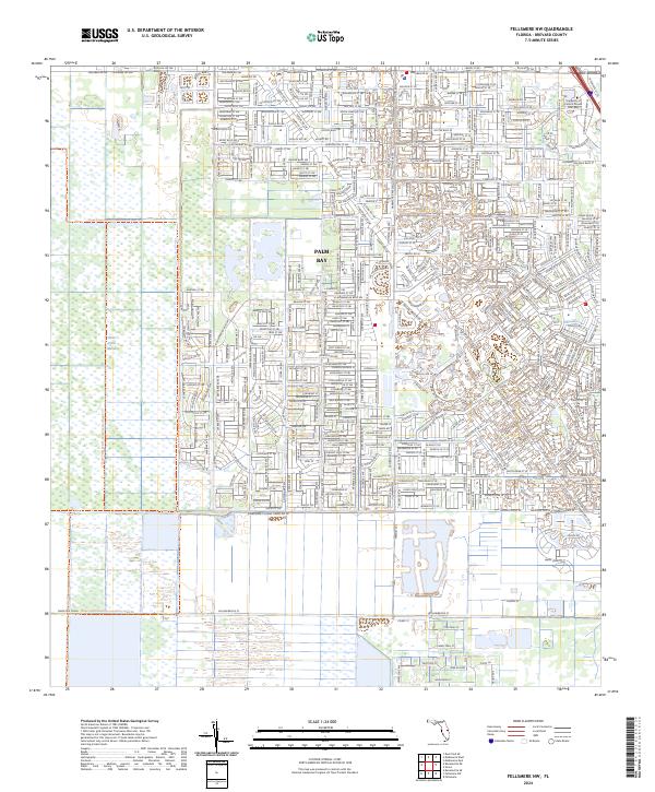
2024 Fellsmere NW
Brevard County, FL
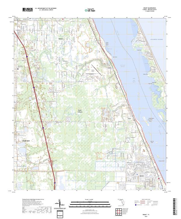
2024 Grant
Brevard County, FL
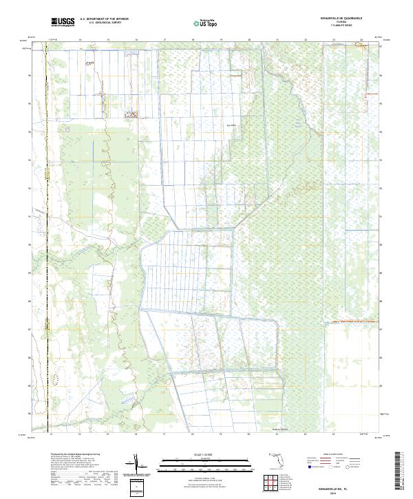
2024 Kenansville NE
Brevard County, FL
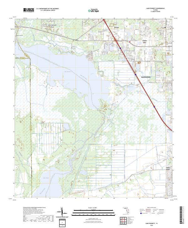
2024 Lake Poinsett
Brevard County, FL
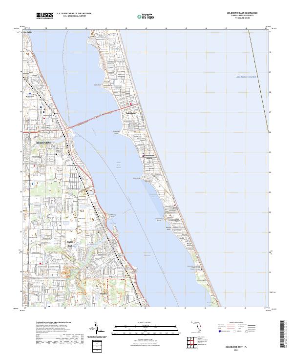
2024 Melbourne East
Brevard County, FL
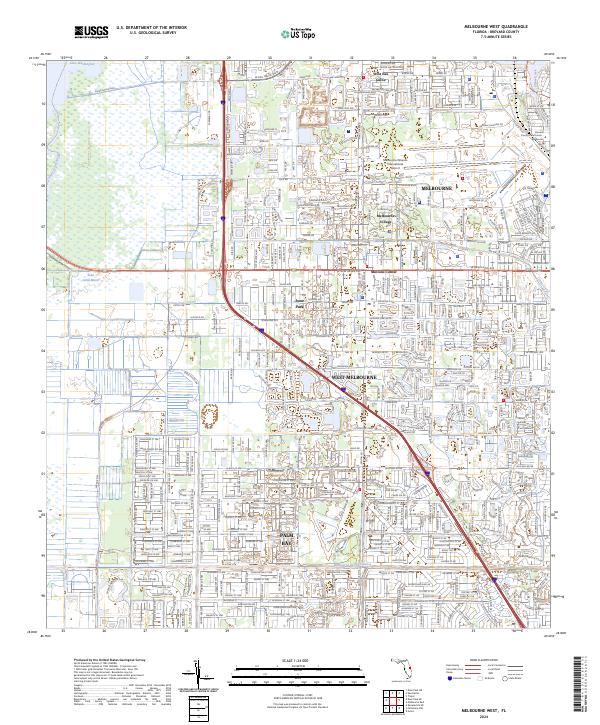
2024 Melbourne West
Brevard County, FL
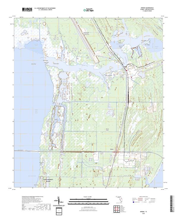
2024 Orsino
Brevard County, FL
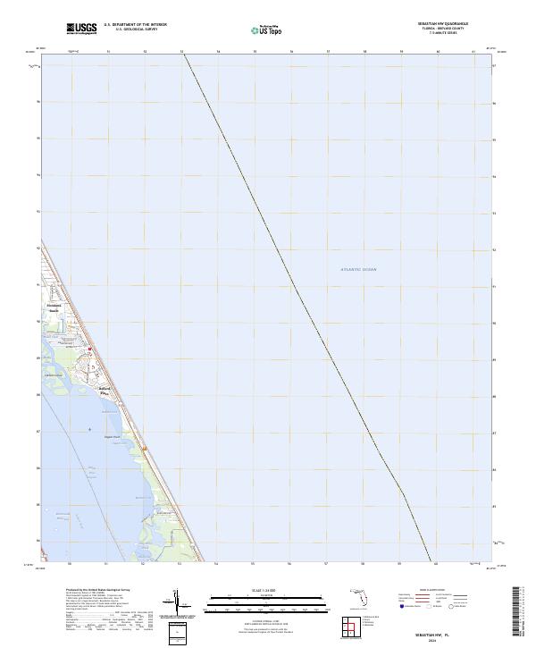
2024 Sebastian NW
Brevard County, FL
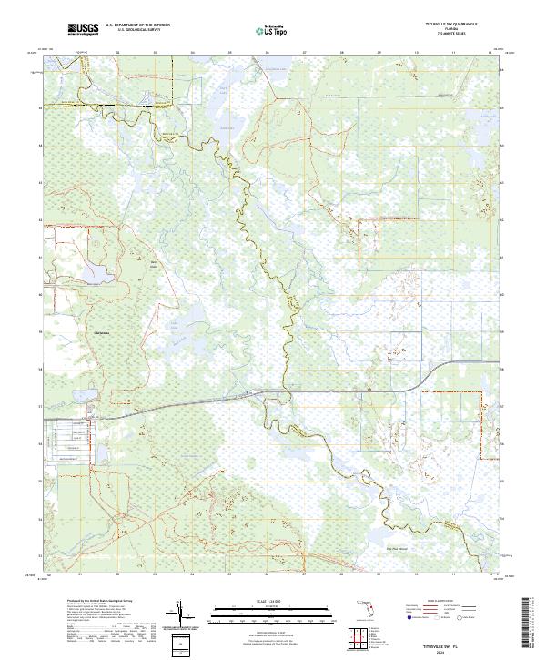
2024 Titusville SW
Brevard County, FL
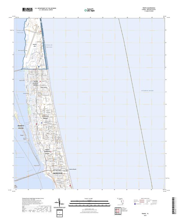
2024 Tropic
Brevard County, FL
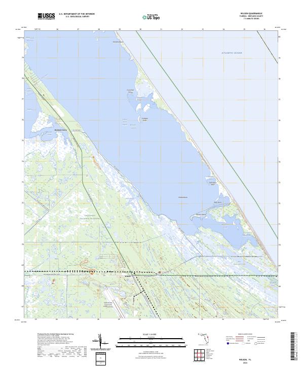
2024 Wilson
Brevard County, FL
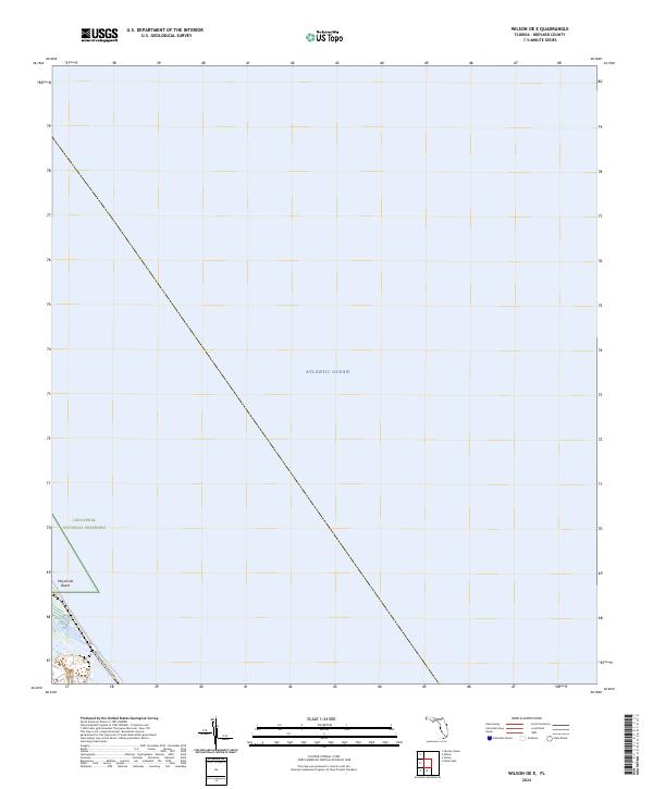
2024 Wilson OE E
Brevard County, FL