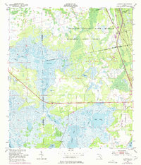
1950 Map of Aurantia
USGS Topo · Published 1977About this map
Historical Spanish land grants define the northern and eastern landscape of this Florida interior, notably the Bernardo Segui Grant and the Delespine Grant. The Brevard County Game Refuge occupies much of the central terrain, where the Florida East Coast railroad cuts a straight path through the marshes of the St. Johns River basin.
Find a feature on this map
22 named features on this map. Tap any name to fly to it.
Don’t see what you’re looking for? This feature index may not catch every label — zoom into the map to look around manually.
Map Details
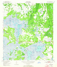
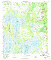
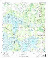
Editions of this 1950 Aurantia Map
5 editions found
Other maps of this area

1949 · Oak Hill
USGS Topo · 1:24,000

1949 · Titusville
USGS Topo · 1:24,000

1949 · Mims
USGS Topo · 1:24,000

1949 · Osceola
USGS Topo · 1:24,000

1950 · Maytown
USGS Topo · 1:24,000

1950 · Aurantia
USGS Topo · 1:24,000

1952 · Mims
USGS Topo · 1:24,000

1952 · Titusville
USGS Topo · 1:24,000

1953 · Geneva
USGS Topo · 1:24,000

1953 · Titusville SW
USGS Topo · 1:24,000