
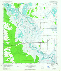
1953 Map of Titusville SW
USGS Topo · Published 1955About this map
The St Johns River meanders through a vast network of wetlands and seasonal lakes in this mid-century survey of the Central Florida interior. The landscape is defined by its complex hydrology, where the river connects Silver Lake, Loughman Lake, and Ruth Lake before flowing north. Human presence is marked by the expansive Delespine Grant boundary and the critical transit corridor of the Cheney Highway, which cuts west-to-east across the marshy terrain.
Find a feature on this map
22 named features on this map. Tap any name to fly to it.
Don’t see what you’re looking for? This feature index may not catch every label — zoom into the map to look around manually.
Map Details
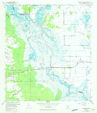
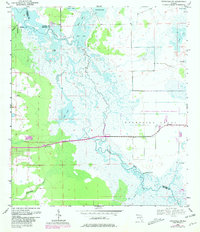
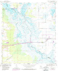
Editions of this 1953 Titusville SW Map
5 editions found
Other maps of this area

1949 · Titusville
USGS Topo · 1:24,000

1949 · Mims
USGS Topo · 1:24,000

1949 · Sharpes
USGS Topo · 1:24,000

1950 · Aurantia
USGS Topo · 1:24,000

1951 · Sharpes
USGS Topo · 1:24,000

1952 · Mims
USGS Topo · 1:24,000

1952 · Titusville
USGS Topo · 1:24,000

1953 · Narcoossee NE
USGS Topo · 1:24,000

1953 · Geneva
USGS Topo · 1:24,000

1953 · Lake Poinsett NW
USGS Topo · 1:24,000