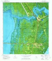
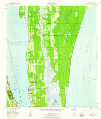
1976 Map of Orsino
USGS Topo · Published 1976About this map
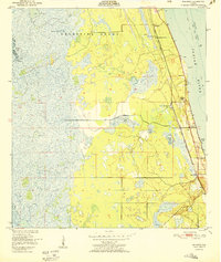
Merritt Island is a landscape defined by the convergence of mid-century aerospace development and environmental preservation. This 1976 orthophotomap documents the infrastructure of the John F Kennedy Space Center, showing the critical facilities at the Launch Complex 39 National Historical Site and the Launch Control Center. The aerial photography reveals the complex spatial relationship between the space program's industrial footprint and the surrounding wetlands of the Merritt Island National Wildlife Refuge.
Find a feature on this map
58 named features on this map. Tap any name to fly to it.
Don’t see what you’re looking for? This feature index may not catch every label — zoom into the map to look around manually.
Map Details
Editions of this 1976 Orsino Map
This is the sole edition of this map. No revisions or reprints were ever made.
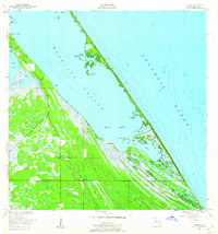
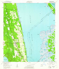
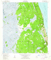
Other maps of this area
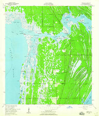
1949 · Orsino
USGS Topo · 1:24,000
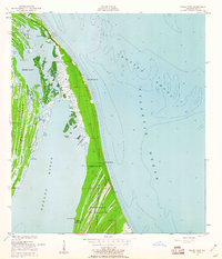
1949 · False Cape
USGS Topo · 1:24,000
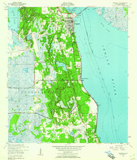
1949 · Titusville
USGS Topo · 1:24,000
1949 · Courtenay
USGS Topo · 1:24,000
1949 · Wilson
USGS Topo · 1:24,000
1949 · Mims
USGS Topo · 1:24,000
1949 · Sharpes
USGS Topo · 1:24,000

1951 · False Cape
USGS Topo · 1:24,000

1951 · Courtenay
USGS Topo · 1:24,000
1951 · Sharpes
USGS Topo · 1:24,000