
1949 Map of Sharpes
USGS Topo · Published 1962About this map
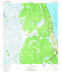
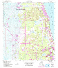
The Delespine Grant dominates this coastal survey, reflecting the deep Spanish land grant history along the Florida coast. Settlement clusters tightly between the marshy interior and the shoreline, following the path of the Florida East Coast railroad and highway. Small communities like Frontenac, Sharpes, and City Point represent the early 20th-century development of the Space Coast before the massive expansion of the mid-century aerospace era.
Find a feature on this map
26 named features on this map. Tap any name to fly to it.
Don’t see what you’re looking for? This feature index may not catch every label — zoom into the map to look around manually.
Map Details
Editions of this 1949 Sharpes Map
6 editions found
Other maps of this area

1949 · Orsino
USGS Topo · 1:24,000

1949 · Titusville
USGS Topo · 1:24,000

1949 · Courtenay
USGS Topo · 1:24,000

1949 · Cocoa
USGS Topo · 1:24,000

1951 · Cocoa
USGS Topo · 1:24,000

1951 · Courtenay
USGS Topo · 1:24,000

1951 · Sharpes
USGS Topo · 1:24,000

1951 · Orsino
USGS Topo · 1:24,000

1952 · Titusville
USGS Topo · 1:24,000

1953 · Lake Poinsett
USGS Topo · 1:24,000