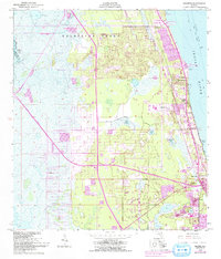
1949 Map of Sharpes
USGS Topo · Published 1992About this map
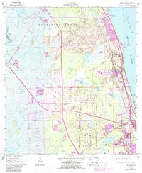
The Delespine Grant dominates the northern landscape of this coastal survey, where the historic Florida East Coast railroad parallels the western shore of the Indian River. This corridor reflects mid-century growth along the Space Coast, linking the settlements of Delespine, Frontenac, and Sharpes before reaching the northern edge of Cocoa. The transition from the river's shoreline to the inland marshes is marked by a network of fresh water bodies, including Sharpes Lake, Geiger Lake, and Lake Wilson.
Find a feature on this map
21 named features on this map. Tap any name to fly to it.
Don’t see what you’re looking for? This feature index may not catch every label — zoom into the map to look around manually.
Map Details
Editions of this 1949 Sharpes Map
6 editions found
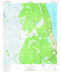
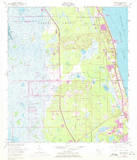
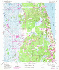
Other maps of this area

1949 · Orsino
USGS Topo · 1:24,000

1949 · Titusville
USGS Topo · 1:24,000

1949 · Courtenay
USGS Topo · 1:24,000

1949 · Sharpes
USGS Topo · 1:24,000

1949 · Cocoa
USGS Topo · 1:24,000

1951 · Cocoa
USGS Topo · 1:24,000

1951 · Courtenay
USGS Topo · 1:24,000

1951 · Sharpes
USGS Topo · 1:24,000

1951 · Orsino
USGS Topo · 1:24,000

1952 · Titusville
USGS Topo · 1:24,000